
Nautical Chart
The Foundation of Our Products
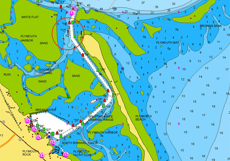
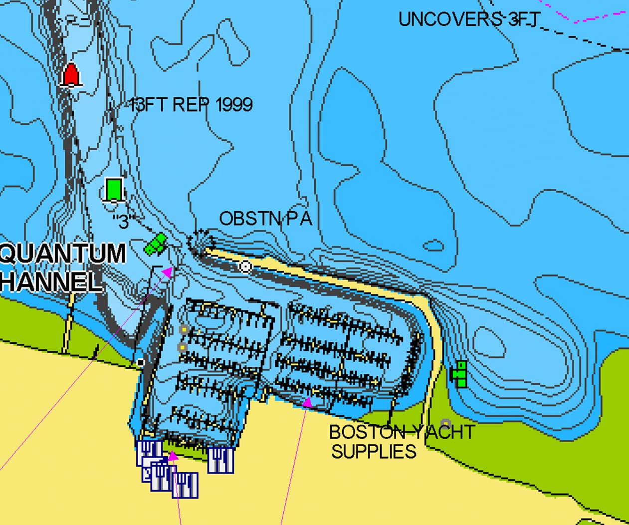
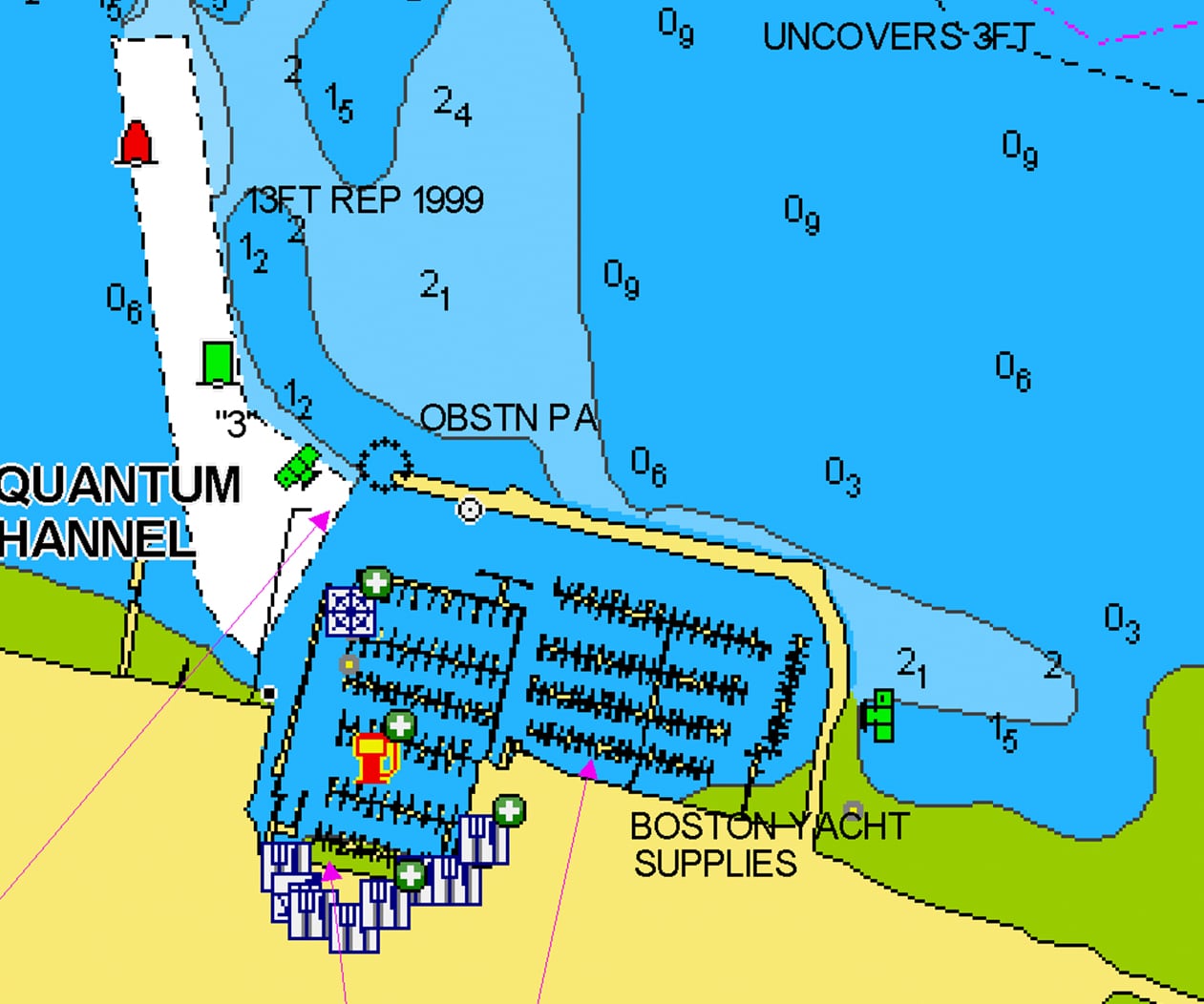
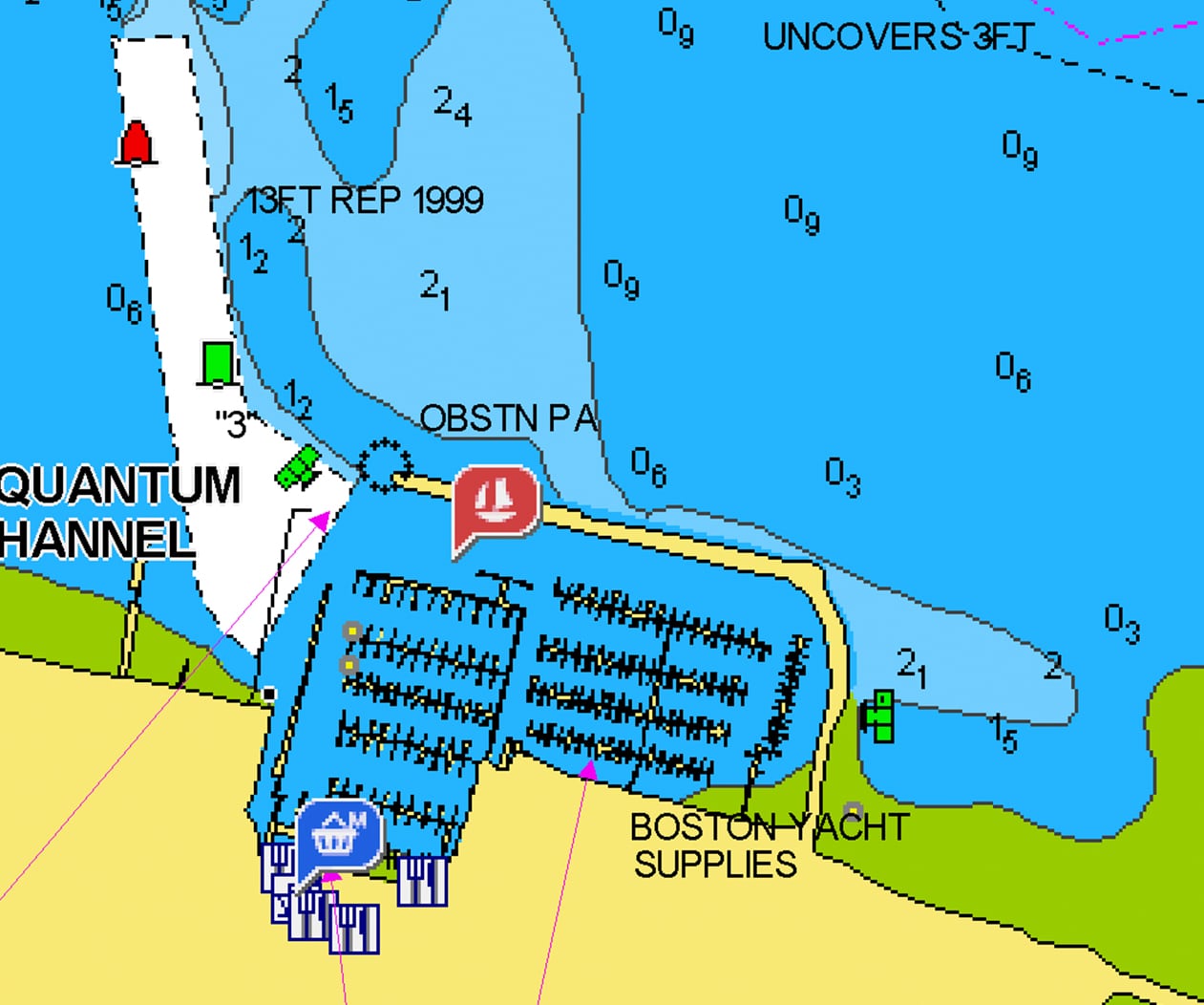
The Most Detailed Charts
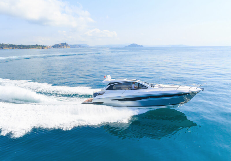
Nautical Chart is the all essential cartographic reference for boaters worldwide. If you’re looking for an accurate and thorough map of lakes and marine areas, Nautical Chart is the resource you’ll want by your side.
Use the map to study port plans and safety depth contours, identify tides & currents, and locate navigation aids, nearby marine services and more!


Study the Map
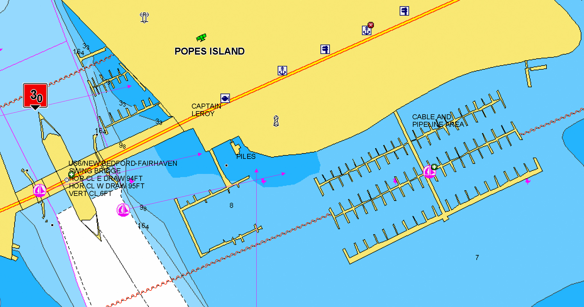
Marine services
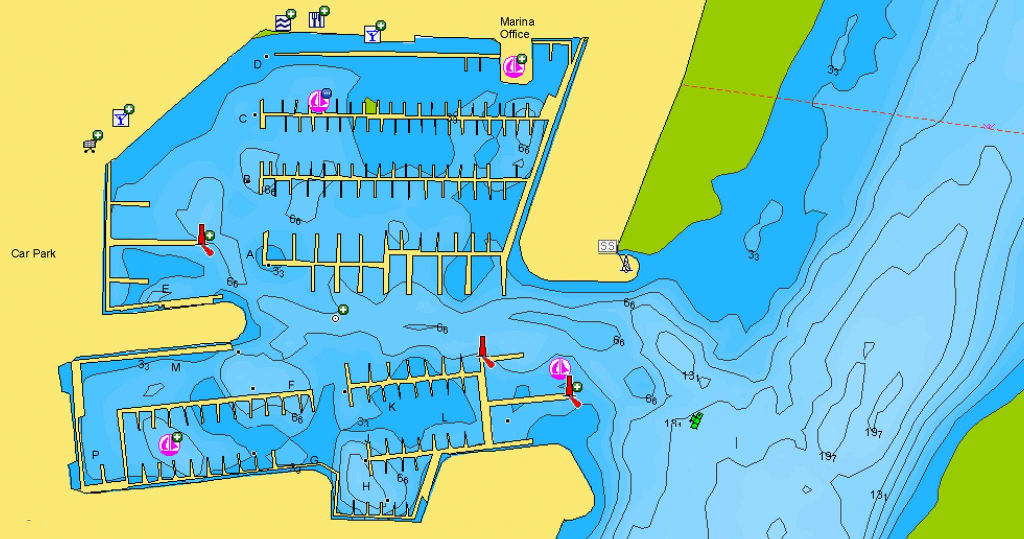
Port plans
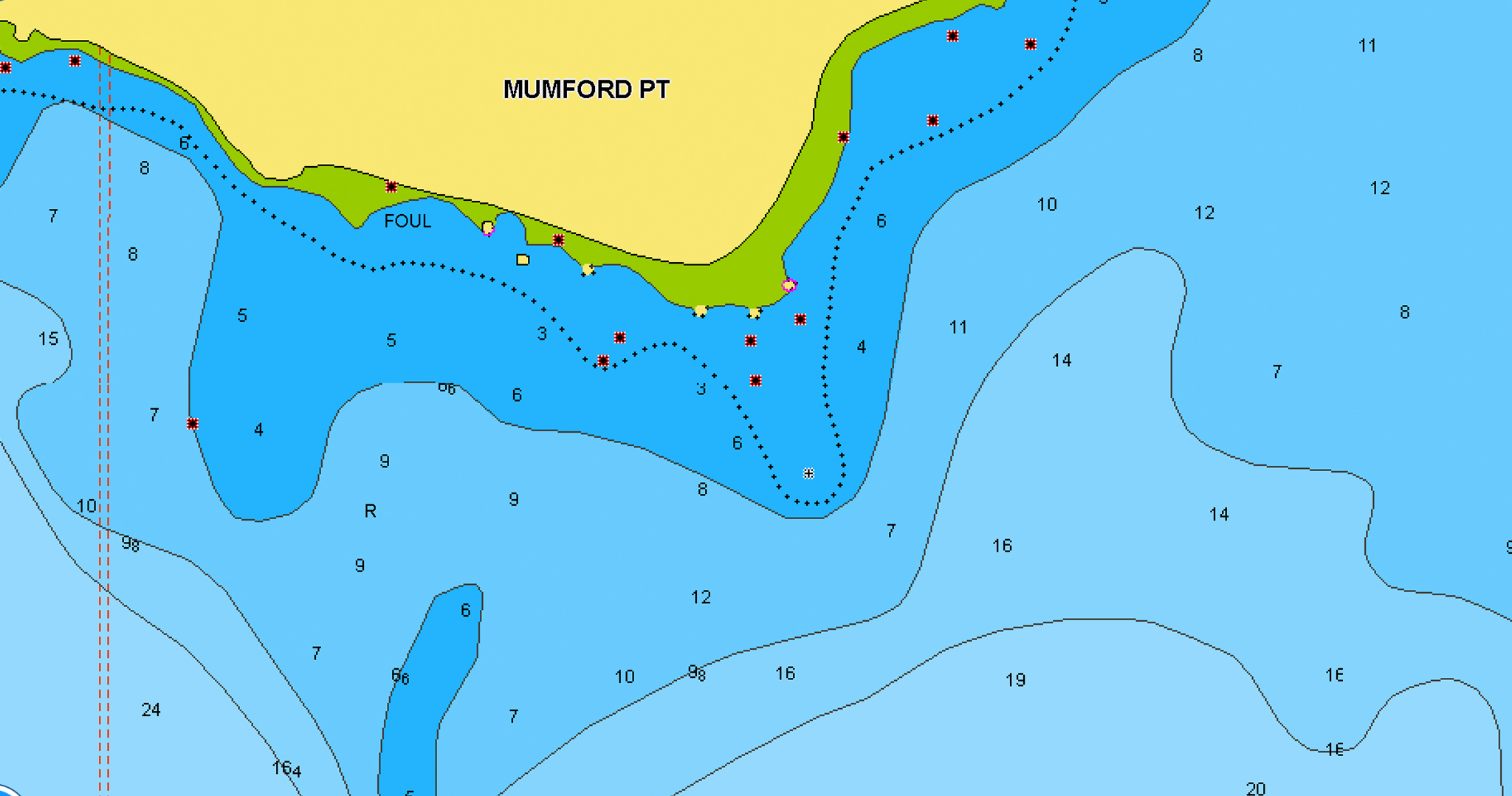
Safety depth
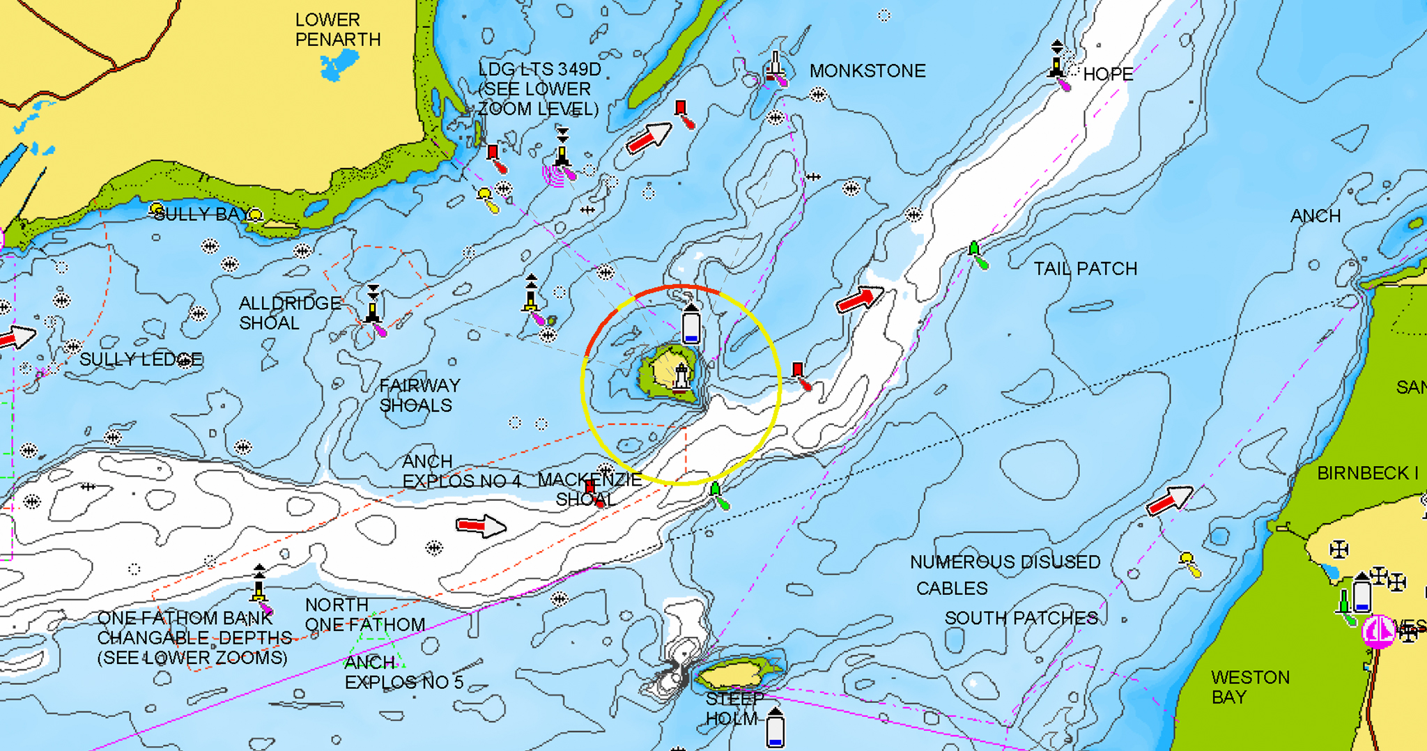
Tides & Currents
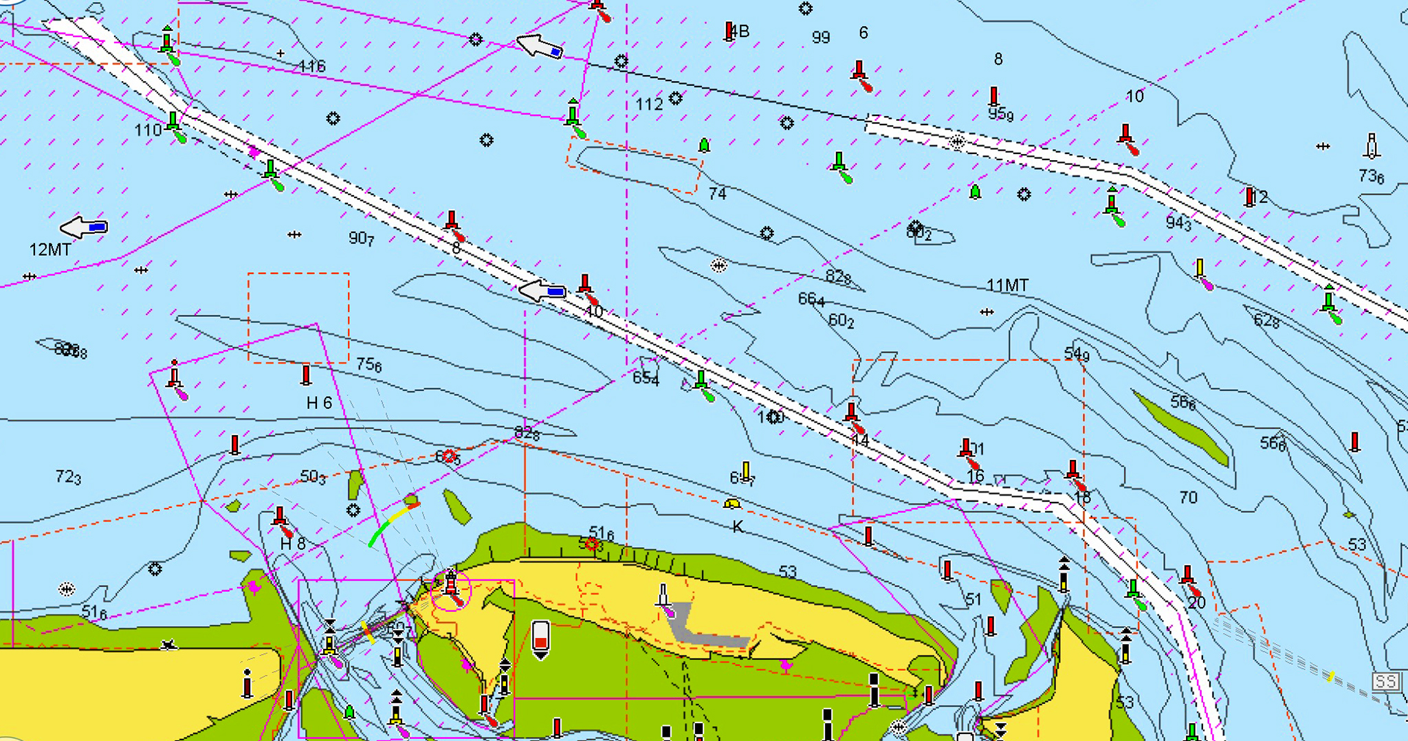
Navigation aids
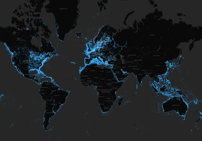
Enriched over 30 years
Continuously expanded with data from numerous highly qualified public and private sources, including our own surveys, Notices to Mariners and data reported by users.
Award-winning
Our Nautical Chart has been honored with recognition and awards around the world. It's internationally renowned as a top-notch reference, both for private boaters and by companies that employ our charts in their everyday business.
Daily Updates
We make up to 5,000 updates every day affecting all our chart layers! A one-year subscription to Daily Updates and advanced features is included when you purchase any new product.
Nautical Chart on Every Device
GPS Plotter
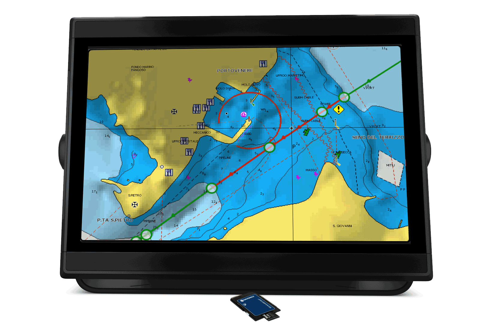
Find the same presentation across a wide range manufacturers.
Discover Our Other Chart Layers
Community Edits
All kinds of valuable local information shared by millions of app users from every part of the world.
Learn More
ActiveCaptain
Information shared by the ActiveCaptain® Community for the Navionics Boating app users.
Learn More