
Satellite Imagery
Satellite Imagery
A Combined Overlay
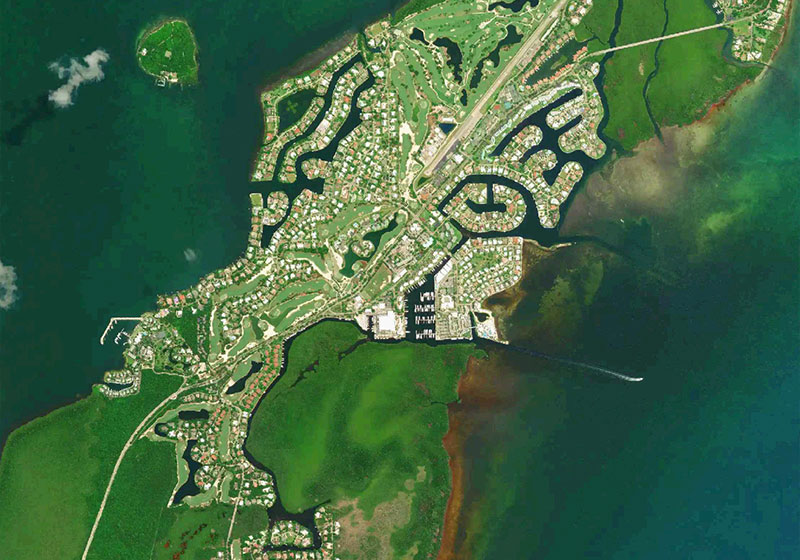
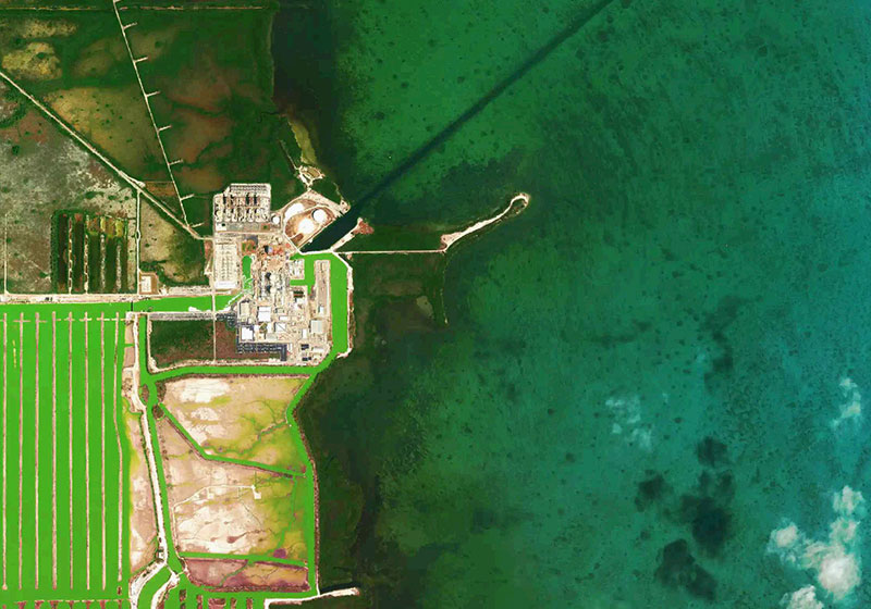
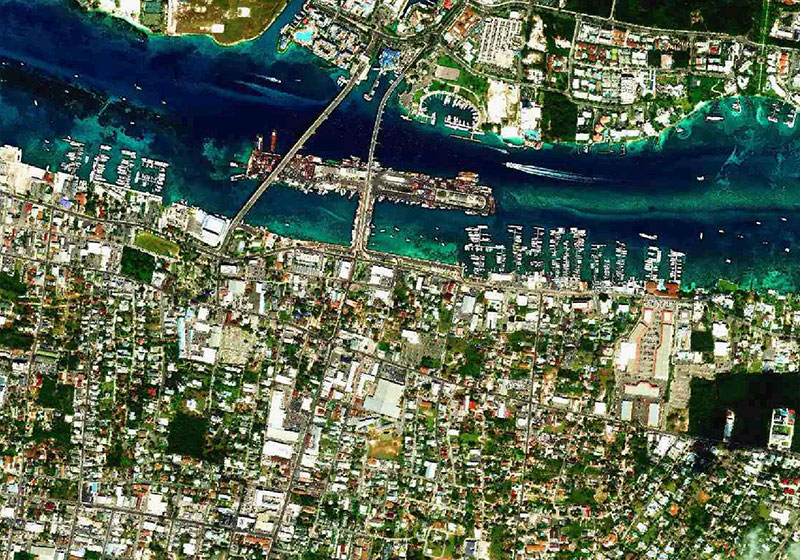
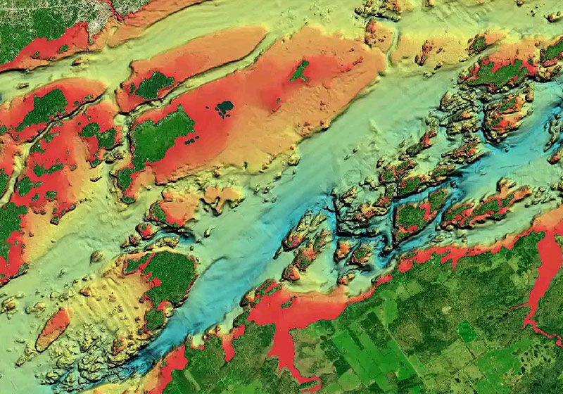
Satellite Imagery, offers a top-down view of inland and coastal areas.
Especially helpful in congested ports and marinas, crisp satellite overlay can also help you find hidden features such as backwater channels that might hold fish.
Set your display
Satellite Imagery can be displayed on land only, land and shallow water or full overlay.
Adjust transparency
The opacity can be adjusted so that Navionics charts are fully or partially visible through the satellite imagery.
This is helpful in shallows waters such as marsh areas or shoals and sandbars.
Get Satellite Imagery
GPS Plotter
Included as a downloadable option with Platinum cards, the overlay can be viewed with compatible models from many brands.
Check compatibility.
Already have a Platinum Card? With an active subscription, you can download it through the Chart Installer.

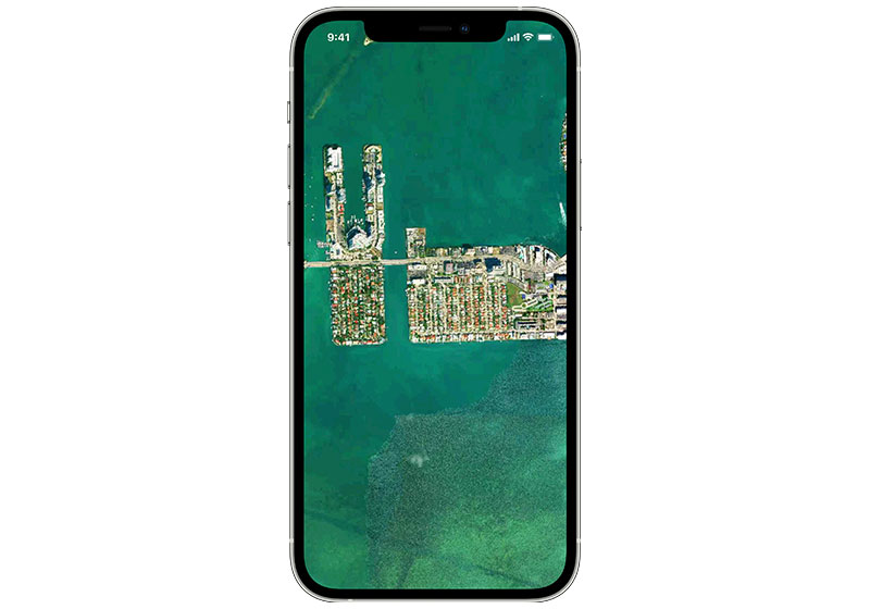
Mobile
With an active subscription, from the Map Options section of the app you can easily overlay Navionics Satellite Imagery.
The Navionics Subscriptions
When you purchase any new product, a one year subscription to daily updates and many advanced features is included. The subscription requires activation.
GPS Plotter Cards
What you get:
- Download of chart layers
- Daily Updates
- Dock-to-dock Route Guidance1
- Advanced Map Options
- Plotter Sync
- Satellite Overlay with SonarChart Shading
- Relief Shading
Check if your GPS plotter model is compatible with advanced features and make sure it is running the latest software.
Subscription expired? After one year, you can purchase a renewal. If you don’t, you can still use your chart layers and download the rest of your coverage area.
The above mentioned advanced features or the download of chart updates require an active subscription.
Mobile App
With an active marine chart subscription within the Navionics Boating app, you can download detailed charts and marine data that can be used offline, plus get suggested routes using Auto Guidance+2 technology, daily updates, chart overlays, HD bathymetry, crowdsourced local information and much more. In addition to all the great chart content, the one-year renewable3 subscription offers daily updates and powerful advanced features accessible on or off the water.
Discover Our Other Overlays
Relief Shading
Highly detailed shading that combines color and shadow to provide an easy-to-interpret, clearer view of bottom structure.
Like our features?
Create an account to receive news, tips and promotions.
Your overall experience with Navionics will greatly improve.
Create account¹ Auto Guidance+ is for planning purposes only and does not replace safe navigation operations.
Charts, overlays, daily updates and advanced features are not accessible after the subscription expires.