
3D View
3D View
Optimize your display
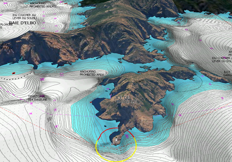
Dynamic 3D View allows you to customize your chart to highlight key features for a better awareness of your surroundings.
What you can do
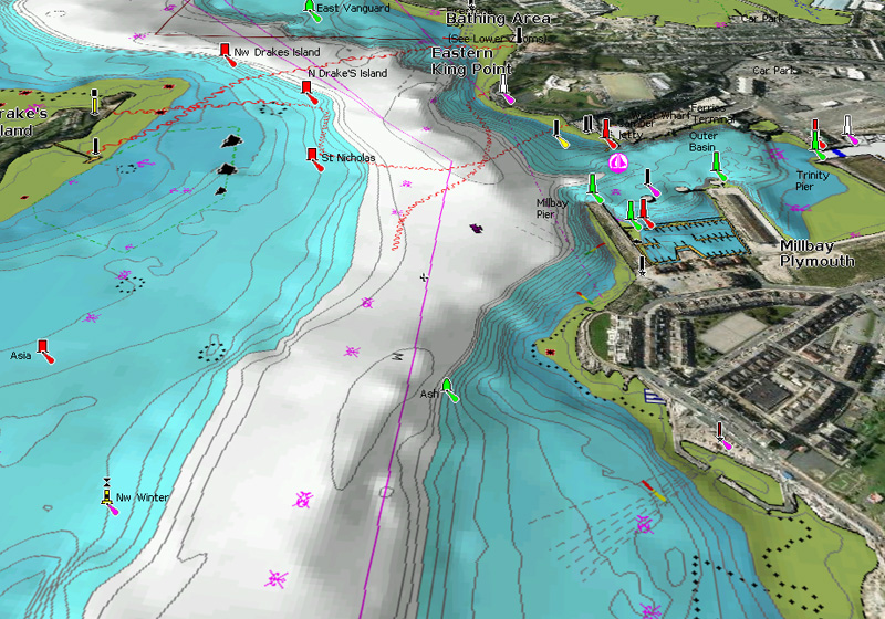
Pan & Zoom
Enjoy a broad overview, easily pan around the map and zoom in to any area you are interested in.
Exaggerate chart features
Increase exaggeration to Intensify and highlight subtle changes in bottom contours while following a channel or looking for good spots to fish!
Adjust pitch and rotate
Adjust pitch to change your vantage point from direct top down overview to a nearly horizontal view. Rotate the chart to any orientation to get a more direct heading view.
Discover Our Other Additional Viewing Options
Aerial
Photography
Get a better sense of the surroundings so you can evaluate your options.

Satellite Overlay with SonarChart™ Shading
A combined overlay unveiling hidden features that might hold fish.

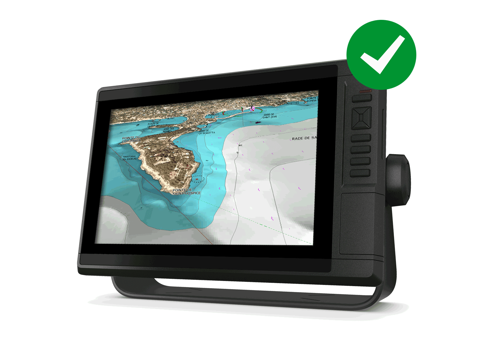
Get 3D View
3D View is possible with Platinum cards when used with compatible models from many brands. Check our Compatibility Guide.
The Navionics Subscription
When you purchase any new product, a one year subscription to daily updates and many advanced features is included. The subscription needs to be activated.
GPS Plotter Cards
What you get:
- Download of chart layers
- Daily Updates
- Dock-to-dock Route Guidance1
- Advanced Map Options
- Plotter Sync
- Satellite Overlay with SonarChart Shading
- Relief Shading
Check if your GPS plotter model is compatible with advanced features and make sure it is running the latest software.
Subscription expired? After one year, you can purchase a renewal. If you don’t, you can still use your chart layers and download the rest of your coverage area.
The above mentioned advanced features or the download of chart updates require an active subscription.

Like our features?
Create an account to receive news, tips and promotions.
Your overall experience with Navionics will greatly improve.
Create account¹ Dock-to-dock Route Guidance is for planning purposes only and does not replace safe navigation operation.