Plotter Sync
Plotter Sync
Plotter Sync
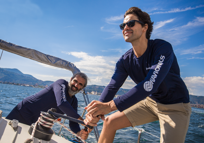
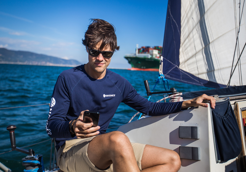
Plotter Sync allows compatible chartplotter owners to transfer routes and markers, update chart layers and more — to and from the Navionics Boating app. Watch this video.
What You Can Do
Without removing the Navionics card from your chartplotter:
ACTIVATE
From your boat, you can activate Navionics+™ or Platinum+ plotter cards to enable daily chart updates and advanced features.
TRANSFER ROUTES AND MARKERS
Easily transfer routes and markers between your mobile app and plotter card — a great time-saver! An active app subscription is required.
UPDATE CHART LAYERS
Update chart layers on your plotter card to get the most current data via Plotter Sync. An active app subscription is required.
RENEW
You can also renew your plotter card subscription for an additional year. If you’ve used Plotter Sync before, you can renew directly from the app whether you connect to the plotter or not. Just go to Menu > Paired Devices.
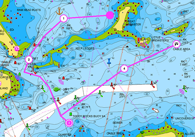
Plan on Mobile, Go on Plotter!
Conveniently plan your route using our Boating app. Study your cruising itinerary, identify your fishing spots then make your route with Dock-to-dock Route Guidance1 and finally transfer to your plotter. Take advantage of this mobile feature if you don’t have Dock-to-dock Route Guidance on your plotter!
Get Plotter Sync
Check the list of compatible chartplotters, and learn how to set up your model from our support area. Be sure to update your chartplotter's operating software and use a Navionics card with an active subscription.
.jpeg)
Discover Our Other Advanced Features
Dock-to-dock Route Guidance
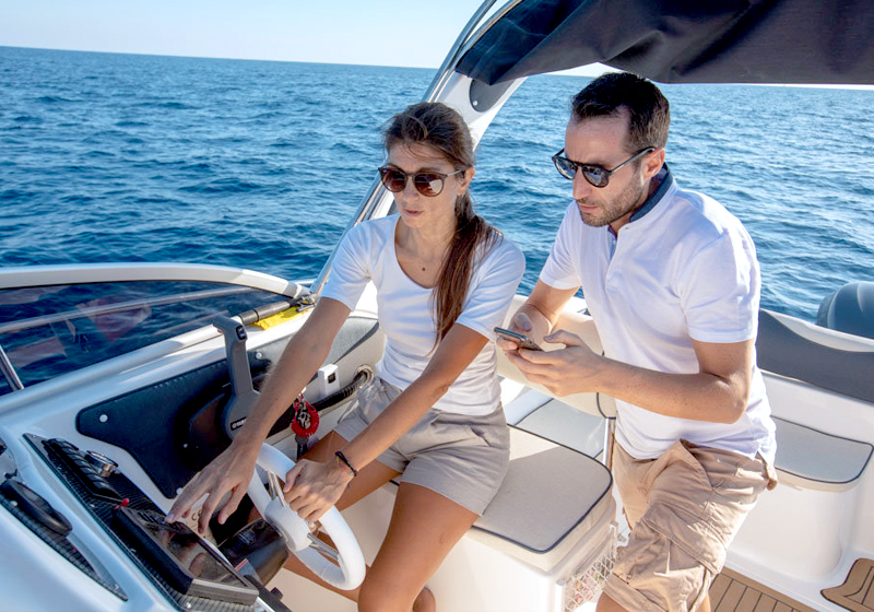
Connect your plotter and mobile to transfer routes & markers and update your chart layers wirelessly.
Learn more
SonarChart™ Live
Create 1 ft/0.5 m HD bathymetry maps of your favorite areas in real time!
Learn more
Advanced Map Options
Customize your view of Navionics charts to highlight shallow areas, adjust SonarChart™ contour density, and target a fishing range!
Learn more
The Navionics Subscriptions
When you purchase any new product, a one year subscription to daily updates and many advanced features is included. The subscription requires activation.
GPS Plotter Cards
What you get:
- Download of chart layers
- Daily Updates
- Dock-to-dock Route Guidance
- Advanced Map Options
- Plotter Sync
- Satellite Overlay with SonarChart Shading
- Relief Shading
Check if your GPS plotter model is compatible with advanced features and make sure it is running the latest software.
Mobile App
What you get:
- Download of chart layers
- Daily Updates
- Auto Guidance+
- Advanced Map Options
- Weather & Tides
- AIS
- GPX Import/Export
- Plotter Sync
- Satellite Overlay with SonarChart Shading
- Relief Shading
- Share/Save shared tracks, routes and markers