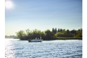
Es posible grabar los registros de sónar en las aguas interiores de Finlandia20 Julio 2015Category:MobilenavigationiPhoneiPadboatingrouteswaypointscoordinatesLakescoastriverFinland
CÓMO SE GENERA SONARCHART™
SonarChart™ se crea a partir de la Carta Náutica y de otras fuentes locales que ofrecen datos adicionales, así como de los mismos estudios de Navionics. A continuación, validamos...
Autorouting crea rutas de muelle a muelle14 Julio 2015Category:Dispositivo móvilAutoroutingnavegaciónde muelle a muellede muelle a destinoiPhoneiPadpuntos de interésboatingrutaswaypoints
¡Dragonfly Pro y Wi-Fish de Raymarine ahora habilitan SonarChart™ Live!13 Julio 2015Category:SonarChart™ LiveDragonfly ProWi-FishboatingAPPiOScarta batimétrica HDmapatiempo realinstantáneochartplotter
Learn how to locate various species of saltwater fish in different parts of the country using contours, currents, and specific structure areas they prefer.
Discover with the new features present in 2015 Navionics product line:-Sonarchart™ to improve your fishing experience-How you can improve the detail of the sea bottom while boating-New stunning satellite photography in Navionics Platinum+ and...
Chris Murphy talks about strategies, tackle selection, and techniques to maximize catch rate with one of the most exciting ways to fish for bass - the Topwater Frog!