
Driven by a passionate commitment to support our customers’ enjoyment on the water, Navionics continues enriching its chart coverage to include popular boating and fishing areas around the world.
Navionics is also known for its quick turnaround time when updating charts: on average, we integrate new data within 15 to 30 days from publication by the original source.
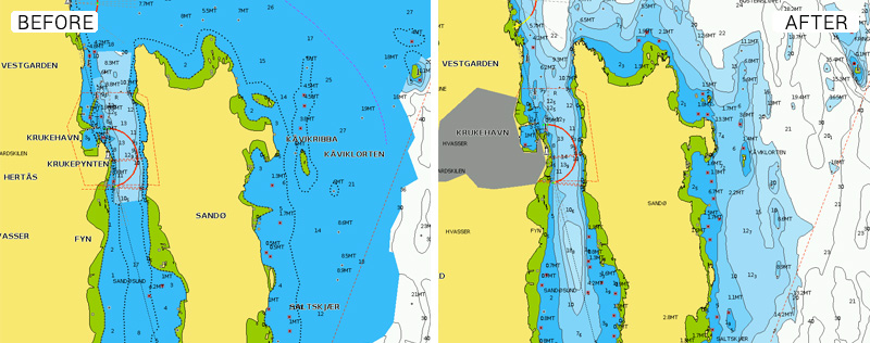
A very important update has recently been published by the Norwegian Hydrographic service for the Tjøme area, one of the most trafficked areas for leisure boating in the country. This new data is now available to Navionics customers and includes bathymetry and rocks in waters where detail was lacking prior to this release of official data.
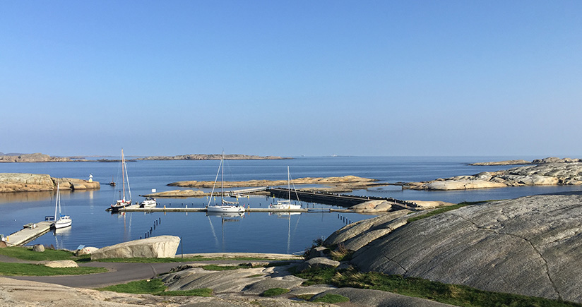
The islands in this area, on the western shore of the Oslo fjord, are very popular summer destinations both for boating, fishing and for the sandy beaches they offer.
See the improvements now
Browse your areas of interest on our Chart Viewer, check out an example here below and judge for yourself:
Learn more about chart updates and discover our latest changes!
GET UPDATED CHARTS!
With an active subscription
- Have a plotter card? Plug your card into a PC and download. Or, if you also have our Boating app, do it wirelessly with Plotter Sync. Download
- Have the Boating app? Open the app and tap Menu > Update All.
With an expired subscription
- Have a plotter card? Choose one of the available options to easily renew. Renew
- Have the Boating app? Open the app, tap Menu > Charts & Upgrades.
IF YOU DON’T HAVE NAVIONICS YET
- Have a plotter? choose Navionics+ Norway, Flekkefjord-Oslo or Platinum+ Oslo to Germany. Shop Now
- Have a mobile? Download the free Boating Marine & Lakes app that provides a 2-week free trial! Shop Now


