Getting To Know The Navionics Boating App?
If you have just downloaded it, on this page you will find how to set up your app, some basic facts about it and how to get started with our most popular features.
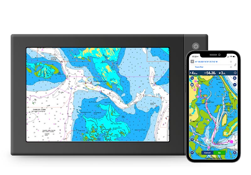
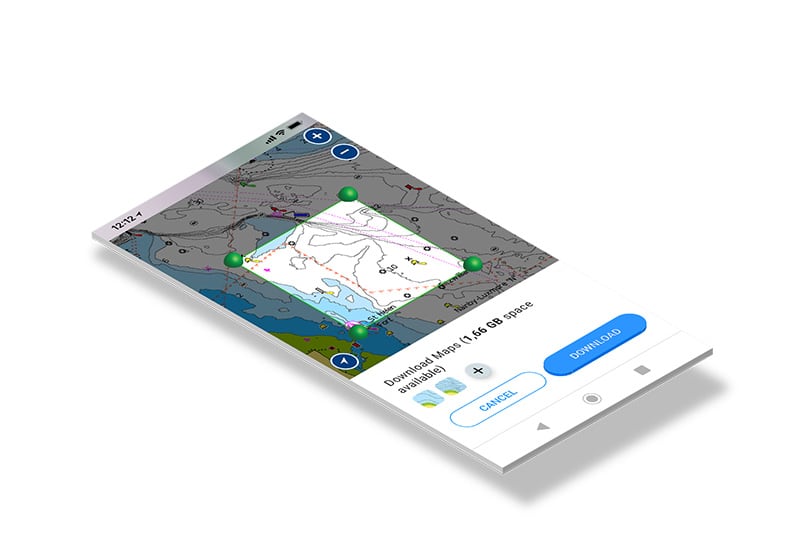
Step 1: Maps
When you first download the app, you get a basemap. To see all map details, you will need to download chart data. Find out how to download, update and delete maps in this video.
Step 2: Layers and Overlays
The app provides chart layers and overlays to serve the various needs of boaters and anglers. Watch this video to learn about some of them and how to access them.

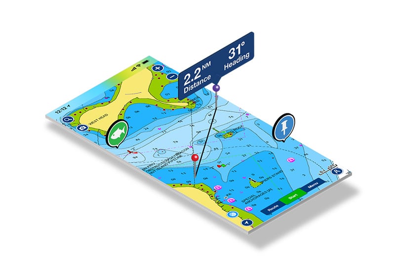
Step 3: Planning Tools
With the app, charts and features are always with you. You can easily and comfortably plan ahead by searching by Lat/Long, saving markers and measuring distances on the map. Watch the video.
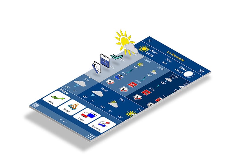
Step 4: Weather
Before setting out for a boating trip, you need to know what weather to expect. The app provides forecasts and other weather-related info. Watch the video.
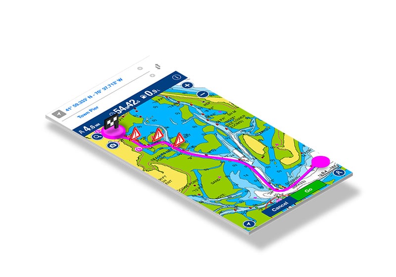
Step 5: Route
Creating and following a route is certainly one of the most popular features of the app Learn about the automatic and manual options in this video.
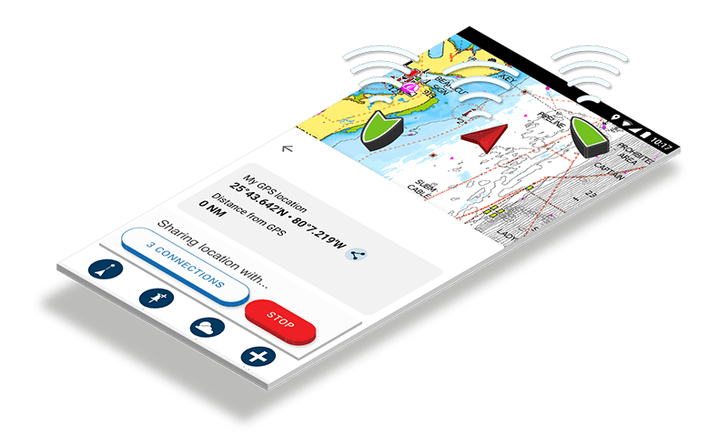
Step 6: Connections
Keep track of friends and fellow boaters with sharing of profile, live location, tracks, routes and markers. Learn more.