
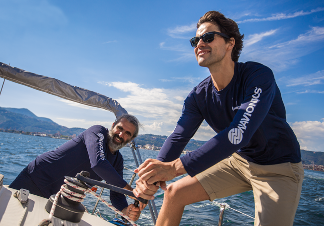
For almost 40 years, the Navionics brand has worked closely with a long list of marine electronics manufacturers to serve anglers, cruisers and sailors across the world.
Through the years, we have brought ever-evolving products and useful, fun features to the market, allowing generations of consumers to maximize their electronics.
• Ocean cruisers can benefit from highly detailed marine charts available in a global catalogue.
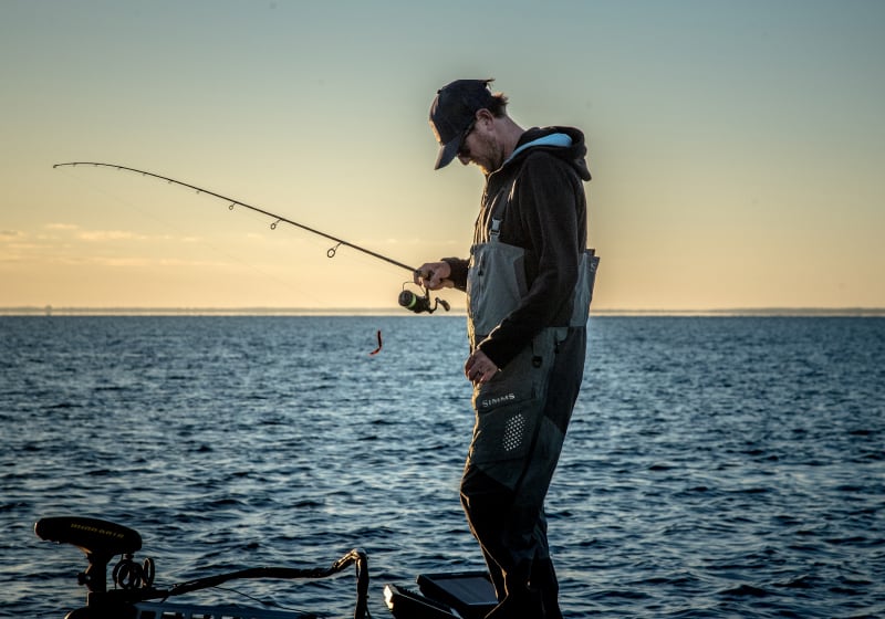
• If you are an angler, you can take advantage of 1 ft HD bathymetry of marine areas and more than 43,000 lakes to target the most productive spots whether you are fishing docks, deep water humps, or underwater structure anywhere in between.
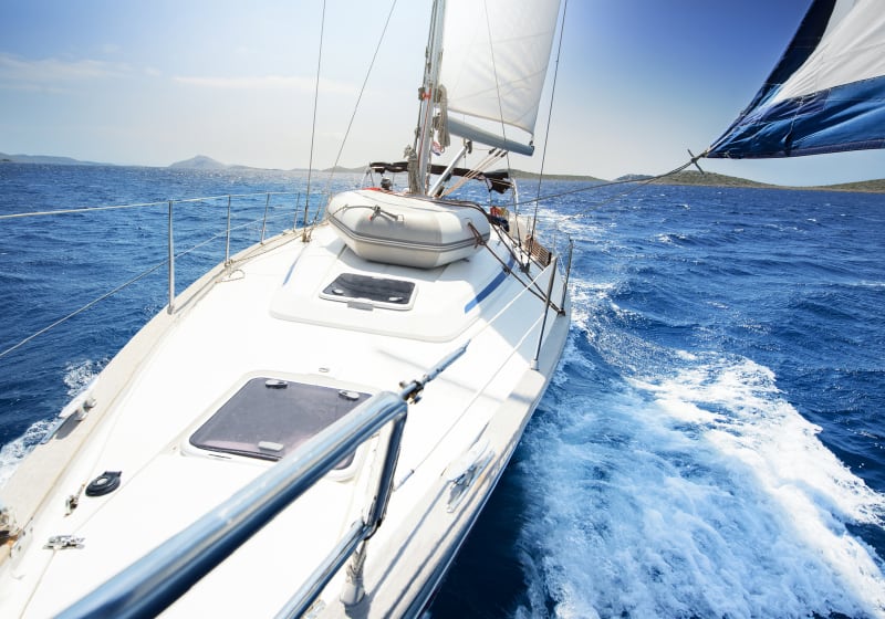
• Sailors will enjoy super accurate coastal data.

Our Content, Your Device
The list of marine electronics brands compatible with Navionics cartography is long and growing. It includes B&G, Furuno, Humminbird, Lowrance, Raymarine and Simrad.
Check detailed compatibility here.
Our Unique Benefit
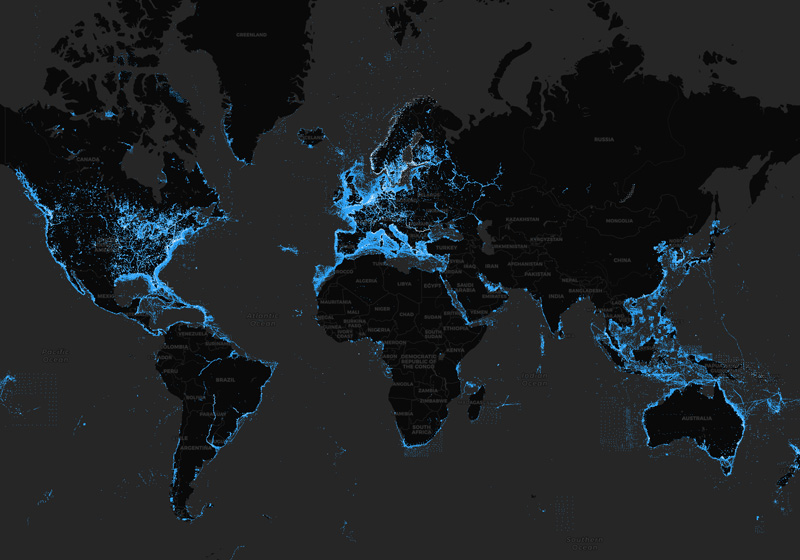
Navionics/Garmin marine cartography products are the only ones on the market to provide access to daily updates so, in any moment, you can start your trip with the latest information available. We make up to 5,000 updates every day affecting all our chart layers.
See our worldwide updates instantly, and locate them on our Heatmap.
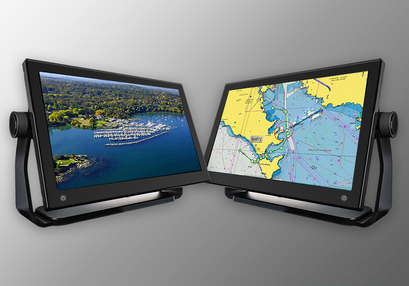
View our latest charts on the Chart Viewer.
The Navionics Subscription
When you purchase any new product, a one year subscription to daily updates and many advanced features is included.
GPS Plotter Cards
What you get:
- Download of chart layers
- Daily Updates
- Dock-to-dock Route Guidance
- Advanced Map Options
- Plotter Sync
- Satellite Imagery
- Relief Shading
- Sonar Imagery
Check if your GPS plotter model is compatible with advanced features and make sure it is running the latest software.
| Navionics+ | Platinum+ | |
|---|---|---|
| Coastal Content | • | • |
| Inland Content | 44,000+ lakes | 44,000+ lakes |
| Detailed Nautical Charts | • | • |
| SonarChart HD Bathymetry1 | • | • |
| Daily Updates1 | • | • |
| Dock-to-dock Route Guidance Technology1,2 | • | • |
| Plotter Sync1 | • | • |
| Community Edits | • | • |
| Advanced Map Options1 | • | • |
| SonarChart Live Mapping | • | • |
| High-resolution Relief Shading1 | Via Chart Installer | |
| Satellite Imagery with SonarChart Shading Overlay1 | Via Chart Installer | |
| Aerial Photography | • | |
| 3D View1 | • |
| Coastal Content | |
| Navionics+ | • |
| Platinum+ | • |
| Inland Content | |
| Navionics+ | 44,000 + lakes |
| Platinum+ | 44,000 + lakes |
| Detailed Nautical Charts | |
| Navionics+ | • |
| Platinum+ | • |
| SonarChart HD Bathymetry | |
| Navionics+ | • |
| Platinum+ | • |
| Daily Updates1 | |
| Navionics+ | • |
| Platinum+ | • |
| Dock-to-dock Route Guidance Technology1,2 | |
| Navionics+ | • |
| Platinum+ | • |
| Plotter Sync1 | |
| Navionics+ | • |
| Platinum+ | • |
| Community Edits | |
| Navionics+ | • |
| Platinum+ | • |
| Advanced Map Options1 | |
| Navionics+ | • |
| Platinum+ | • |
| SonarChart Live Mapping | |
| Navionics+ | • |
| Platinum+ | • |
| High-resolution Relief Shading1 | |
| Navionics+ | |
| Platinum+ | Via Chart Installer |
| Satellite Imagery with SonarChart Shading Overlay1 | |
| Navionics+ | |
| Platinum+ | Via Chart Installer |
| Aerial Photography | |
| Navionics+ | |
| Platinum+ | • |
| 3D View1 | |
| Navionics+ | |
| Platinum+ | • |