

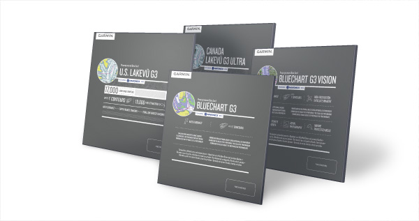
As of April 11, as part of our ongoing efforts to serve the needs of all boaters, customers can purchase accessory cards for their Garmin® GPS chartplotters and MFDs from Garmin authorized dealers and the Navionics website. New BlueChart® g3 and BlueChart g3 Vision marine charts for the U.S., Canada and Europe as well as LakeVü g3 and LakeVü g3 Ultra lake maps for the U.S. and Canada, are currently available. Other regions are expected to be available in Q4 2019.
Experience unparalleled coverage and brilliant detail when you’re on the water, with charts that feature integrated Garmin and Navionics® content. BlueChart g3 and LakeVü g3 charts also provide Auto Guidance¹ technology, up to 1’ contours, depth range shading and shallow water shading. Additional content and features are offered with:
BlueChart g3 Vision coastal charts, which include new high-resolution relief shading, high-resolution satellite imagery, aerial photos, and 3-D views above and below the water line. Currently, high-resolution relief shading is only available within the U.S.
LakeVü g3 Ultra lake maps feature new high-resolution relief shading, Dynamic Lake Level, high-resolution satellite imagery and 3-D views above and below the water line.
Customers who own a Garmin chartplotter or MFD unit and currently run BlueChart g2/g2 Vision charts or LakeVü g2 HD/g2 HD Ultra maps can update to g3 via Garmin Express or the ActiveCaptain App with the Garmin discounted update programs.
Note: Navionics accessory cards will not work in Garmin devices.
¹Auto Guidance is for planning purposes only and does not replace safe navigation operations.


