Community Edits
Valuable Local Info
Local Inputs, Great Benefit
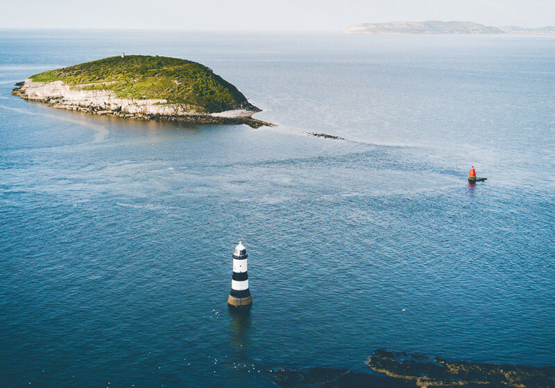
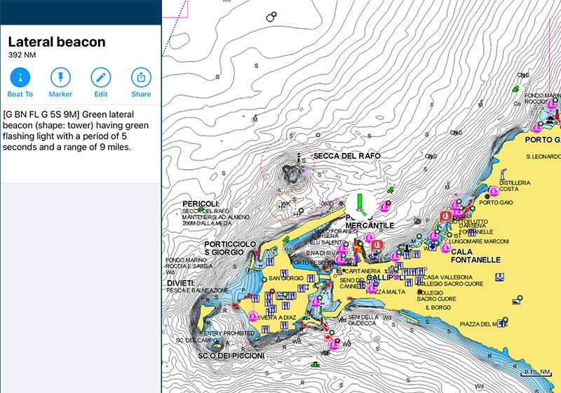
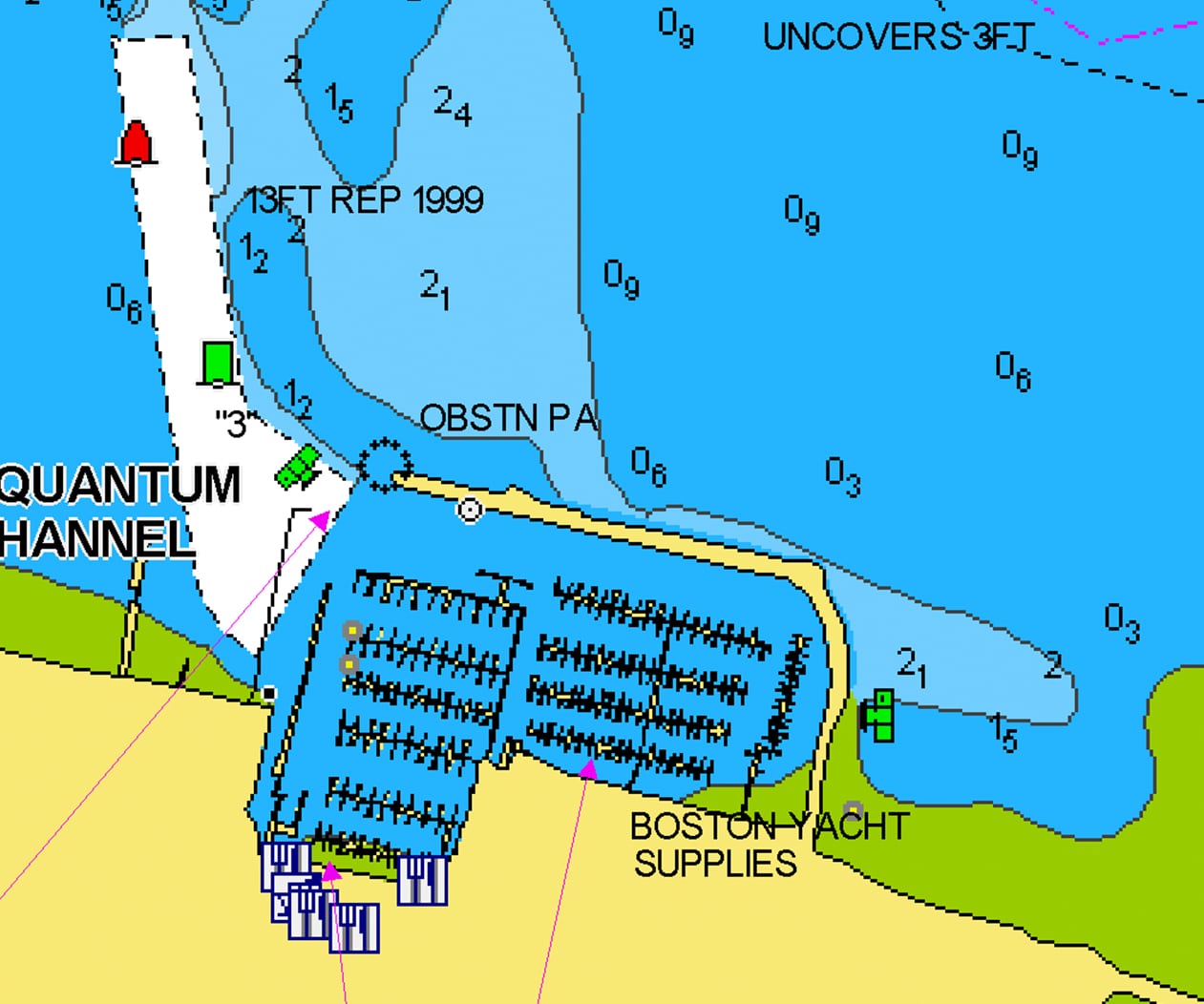
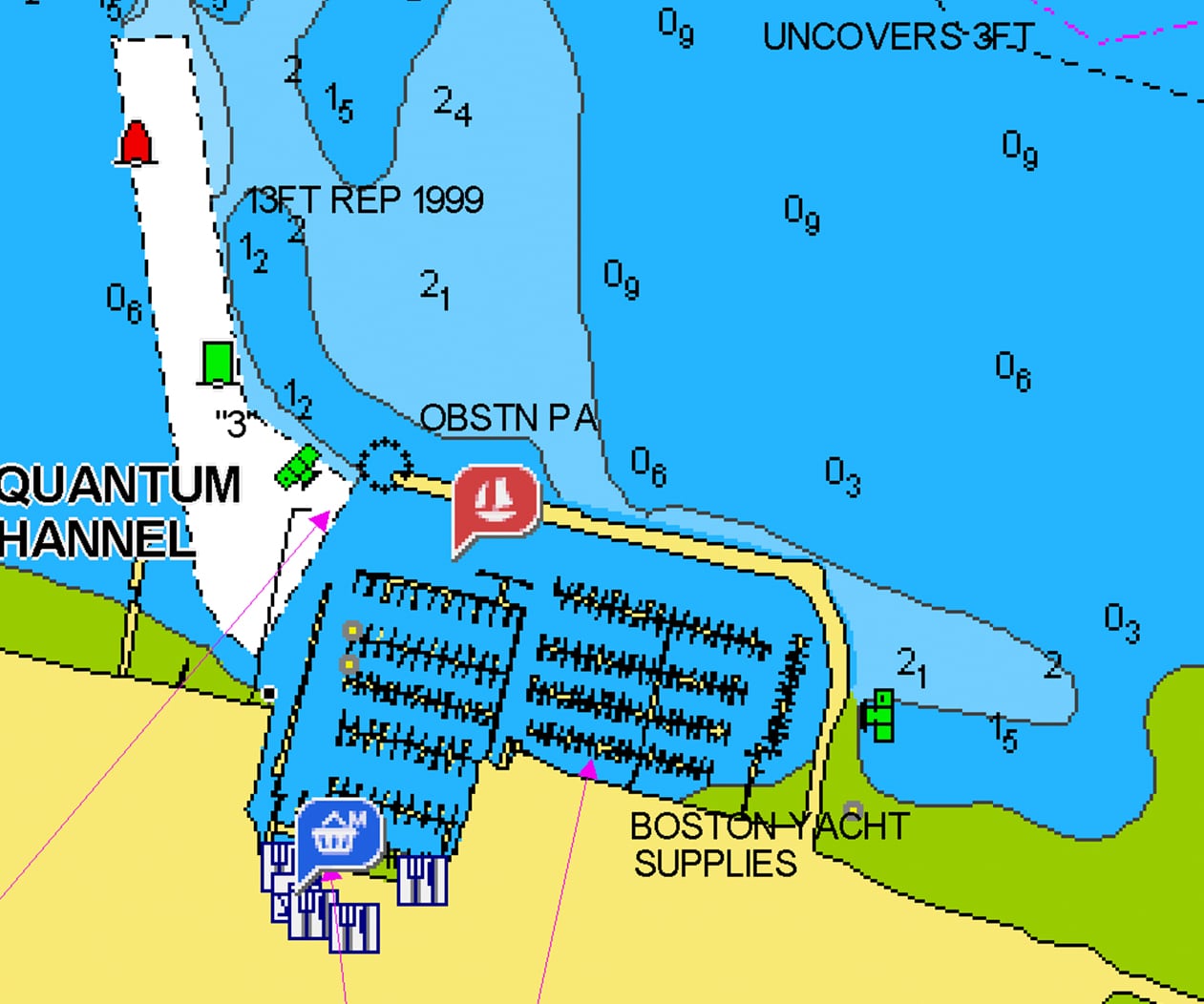
With the help of millions of the Navionics Boating app users who are continuously on the water, all kinds of valuable local information such as seasonal buoys, lights, rocks, moorings, boat ramps, and points of interest like restaurants and provisioning shops are constantly revised and enhanced.
Join the Crowd
Millions of boaters
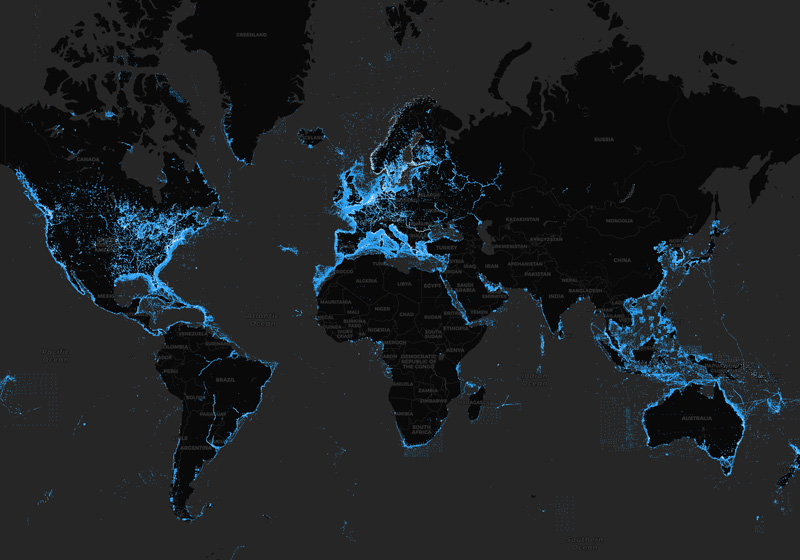
Additions to Nautical Chart are shared by millions of app users from every part of the world. Think of the value of receiving recommendations about places you don't know from people who have experienced them directly before you!
Leave your mark!
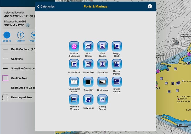
Become an author by adding any information you believe might be of interest to you and other boaters simply by registering from the app and then selecting the icon that represents the object you want to insert (or, you can ask Navionics to modify the official data).
Self-monitored
Any user can comment, rate, modify or delete Community Edits. Community Edits are a separate layer from official data and can be switched on and off.

Daily Updates
You may be aware of changes in sea or lake data just because you are on the spot, so let us know of them! Community Edits are updated daily along with Nautical Chart and SonarChart. A one-year subscription to Daily Updates and advanced features is included when you purchase any new product.
Community Edits on Every Device
Mobile
All inputs made through our Navionics Boating app are available to every Navionics customer on plotter & mobile.
Go to Menu > Map Options to switch Community Edits ON.
Plotter GPS
Community Edits are available with any Navionics card (just make sure your GPS plotter is able to show them).
A Bigger Community on Mobile
The Navionics Boating App app also provides access to the ActiveCaptain® data layer, providing even more local information to users.
Discover Our Other Chart Layers
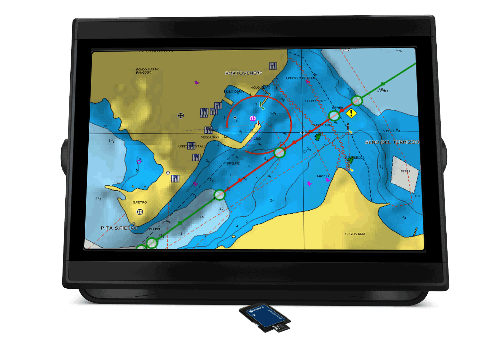
Nautical Chart
All essential cartographic reference detail for cruising, sailing and fishing.
Learn More
Community Edits

All kinds of valuable local information shared by millions of app users from every part of the world.
Learn More
ActiveCaptain
Information shared by the ActiveCaptain® Community for the Navionics Boating app users.
Learn More