
Go Cruising with Navionics
If Cruising Is Your Passion
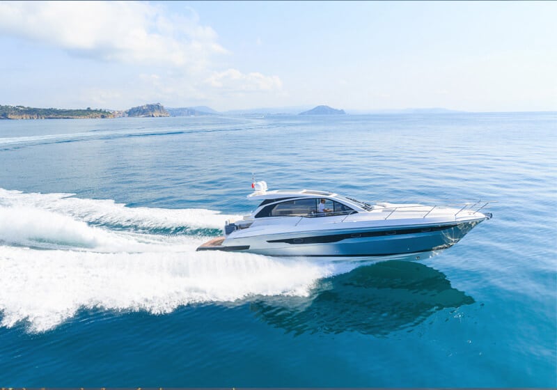
Electronic charts are a valuable support for motorboat passionates, no matter the size or type of vessel.
You can get to know all about your next destination beforehand, can plan trips in detail and set navigation routes on your GPS.
In general, your boating life is improved because you have more control and can handle situations with more confidence.
Your passion counts for us. Create an account, and receive news on the latest features to take your time on the water to the next level.
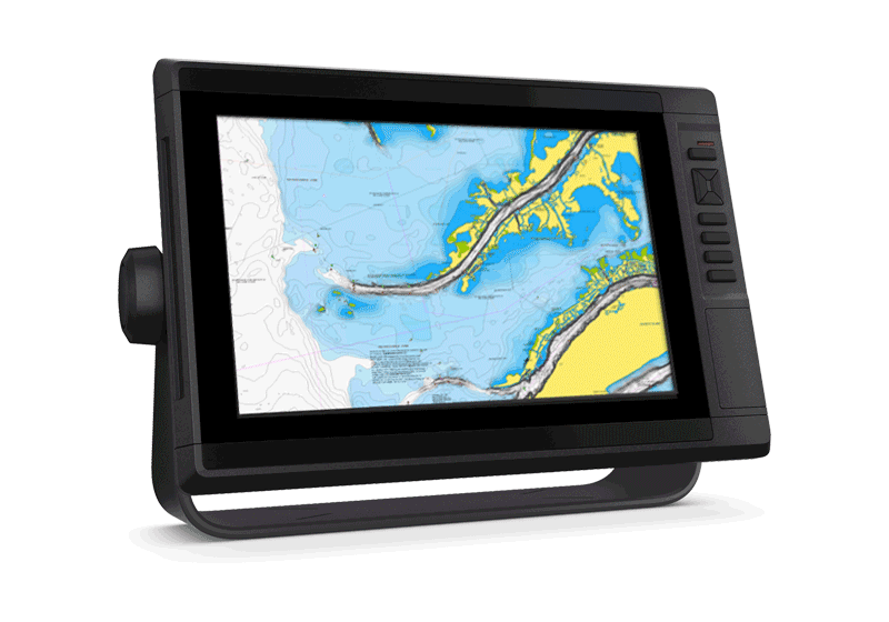
Charts
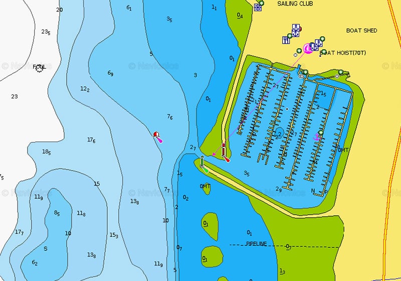
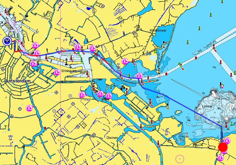
Port Plans
Check detailed port plans that provide docks and pontoons, ramps, fueling docks and points of interest.
SonarChart™
Understanding bottom structure is key for all boaters. Cruisers will appreciate the high-definition bathymetry of SonarChart when searching for an anchoring spot and for staying alert to changes in the sea or lake floor. Discover the "Top Five Reasons" to use SonarChart in this video by our ProStaffer.
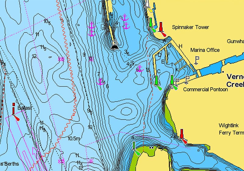
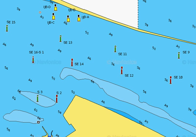
Navigational Aids
In trafficked channels and marina entrances, navigational aids help direct flows and respect navigation rules. Lights and buoys also assist boaters in open waters, indicating hazards or obstacles.
Functionalities
Dock-to-dock Route Guidance
Dock-to-dock Route Guidance1 quickly and easily suggests a route between two points, mainly based on predefined factors such as the boat’s draft and the distance from shallow waters and land.
Watch this video.
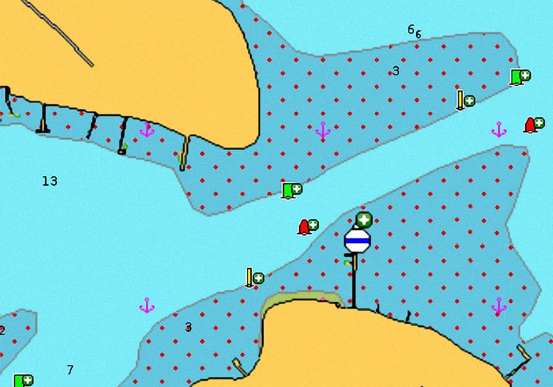
Shallow Waters
Being able to interpret the chart at a glance can prove particularly helpful in challenging conditions. With the Shallow Waters feature, the border between two depth ranges is clearly marked for a deeper awareness of waters you should stay away from!
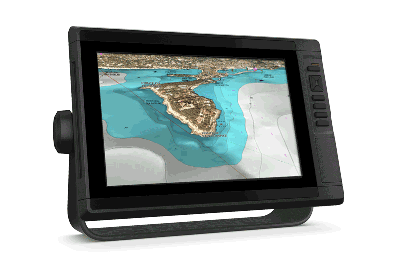
Aerial Photography
Aerial Photography help improve situational awareness and get an idea of the plan of your next destination marina.
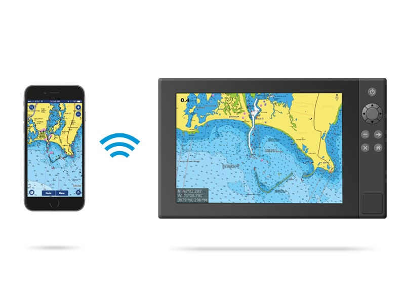
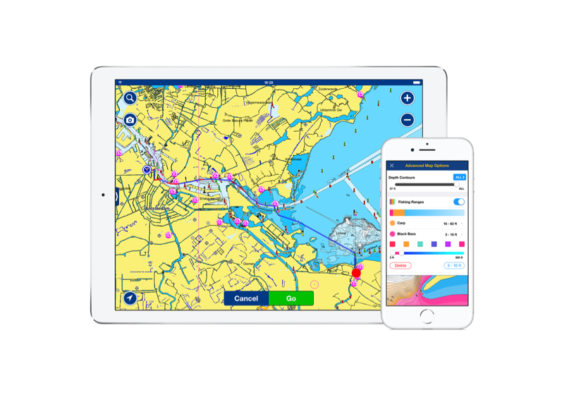
Plotter Sync
This feature connects Navionics on plotter and mobile; it allows to plan on your mobile or at home and transfer your routes and markers to your plotter once on board and more. Discover
The Navionics Family of Products
Navionics+
Navionics+ cartography provides integrated offshore and inland marine mapping content with rivers, bays and more than 44,000 lakes around the world.
Shop Now
Platinum+
Navionics Platinum+™ charts include all the content of Navionics®+ cartography and additional viewing options for relief shading, satellite imagery and more.
Shop Now
Navionics Boating App
The same detailed charts and advanced features used on the best GPS plotters.
Shop Now