Auto Guidance+
Our Most Advanced Navigation Tool
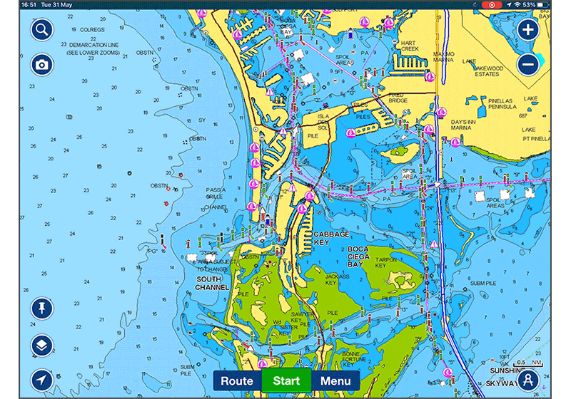
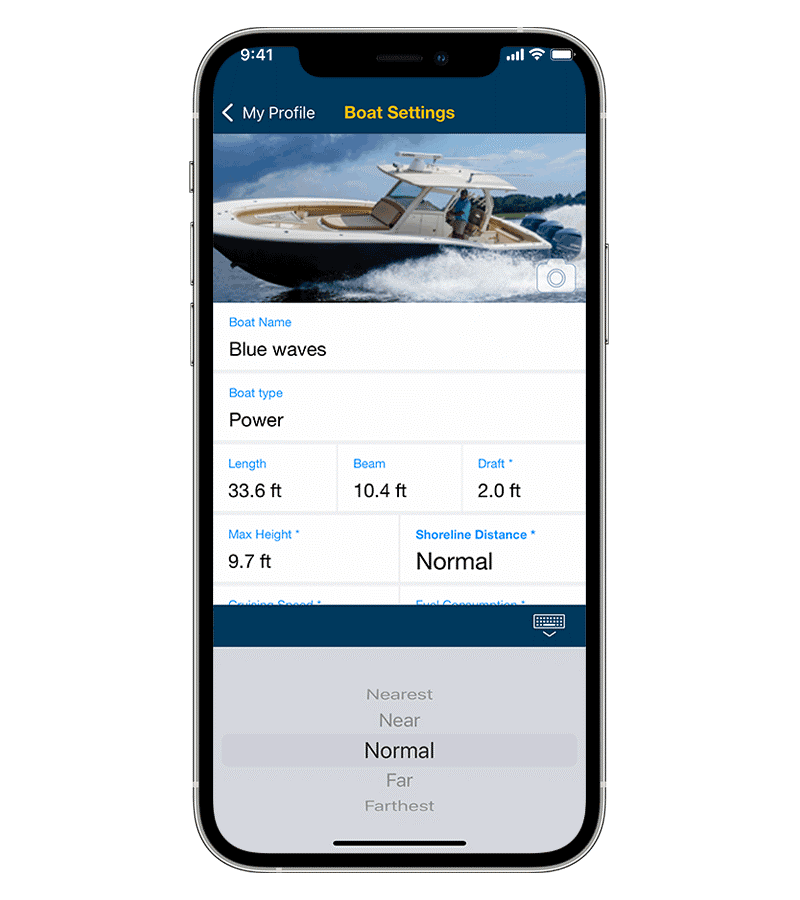
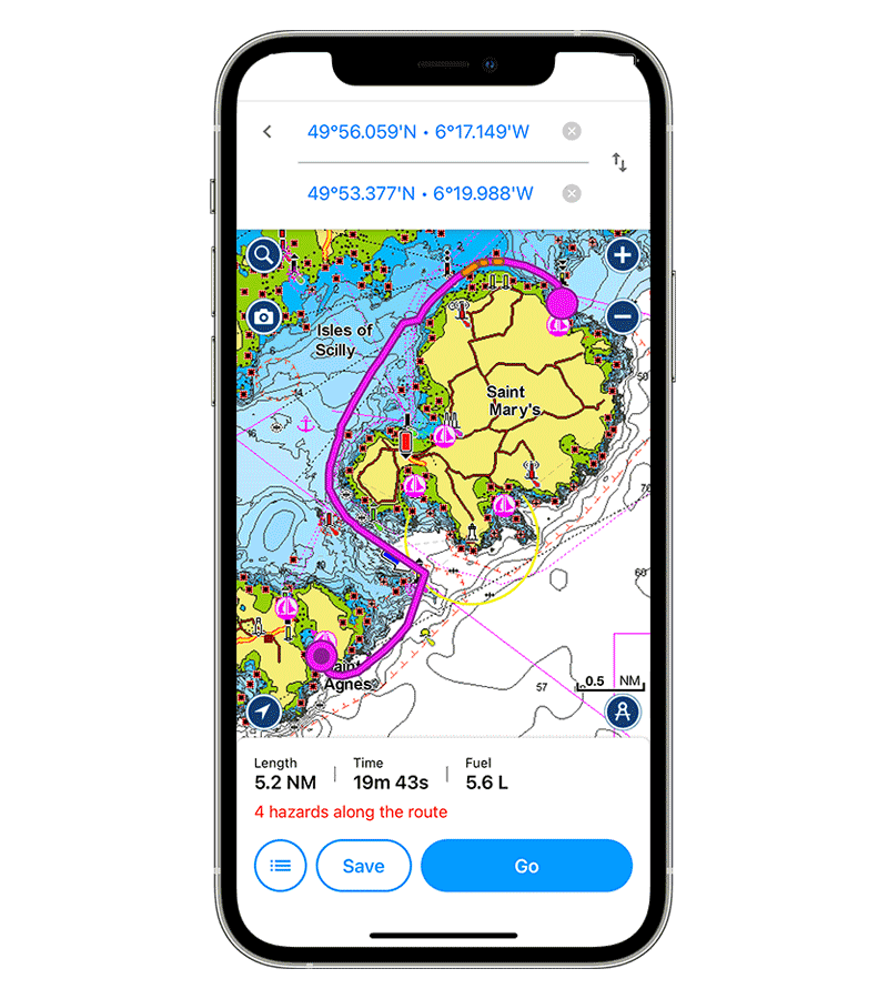
Whether headed out on a cruise, dropping into a marina for lunch or targeting your next potential fishing spot, the Auto Guidance+ technology1 utilizes an array of chart data and navigation aids — once your vessel’s information is entered into the app — to formulate a suggested route to follow.
Height considerations provide better suggested routes for sail boats and large vessels that require greater overhead clearance while navigating channels, inlets, marina entrances and more.
Shoreline distance preference setting allows you to indicate whether your vessel stays closer or further from shore along the route. Shoreline distance settings also factor in shallow water that may not be near the shore.
Route calculation times allow boaters to get underway faster while delivering the smoothest, most efficient suggested path from point A to point B while avoiding harsh turns.
The Navionics Mobile Subscription
The Audio Guidance+ feature is included in our one-year subscription.
With the one-year subscription, you can:
- Download chart layers
- Download daily chart updates and utilize valuable advanced features
One account, one subscription
You can use the same app subscription on all your Apple and Android devices. Simply log in with the same account in all your Navionics Boating apps.
Daily Updates
Only Navionics customers enjoy the unique benefit of having the most current charts with every boating adventure.
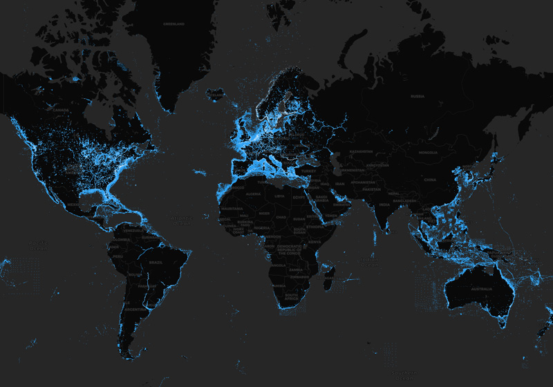
See our worldwide updates instantly, and locate them on our Heatmap.
Advanced Features
Get the full Navionics experience!
- Auto Guidance+
- Advanced Map Options
- Plotter Sync
- ...and more
provide you with additional functionalities on your mobile device.