
SonarChart™ Live
SonarChart™ Live
Create your own maps
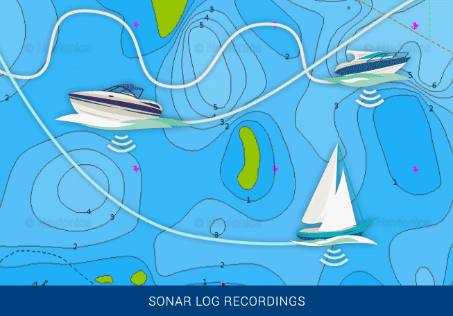
Watch new 1' personal HD bathymetry maps develop in real time as your boat moves along the water! It appears as an additional layer over your map, while it also gets stored on your device for future use.
Map the uncharted!
SonarChart Live also makes it possible to create new maps of uncharted areas. If your favorite water body is missing from our maps, get on the water and benefit immediately from the results!
Want better charts? Go boating!
Depth data gathered during SonarChart Live can also be shared with Navionics to enhance SonarChart for all boaters. Navionics accepts sonar logs recorded with the vast majority of sonar/plotter brands and mobile devices.
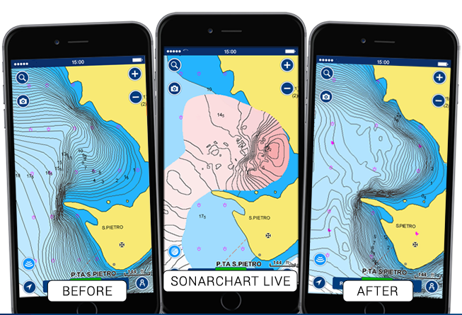
See evidence of your survey
SonarChart Live is an excellent way to anticipate the improvements your survey will bring to SonarChart, because you can see new contours as they develop. The data you gather is checked along with other new sonar logs and Navionics data before being integrated, normally within about a week but may sometimes take longer based on data process variables.
Use SonarChart Live for your favorite activity
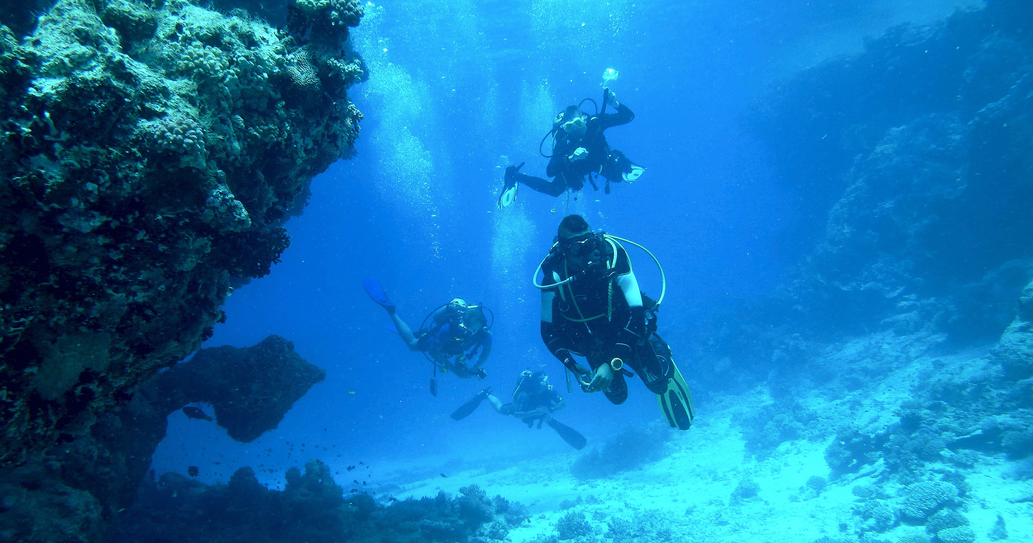
Dive with intelligence!
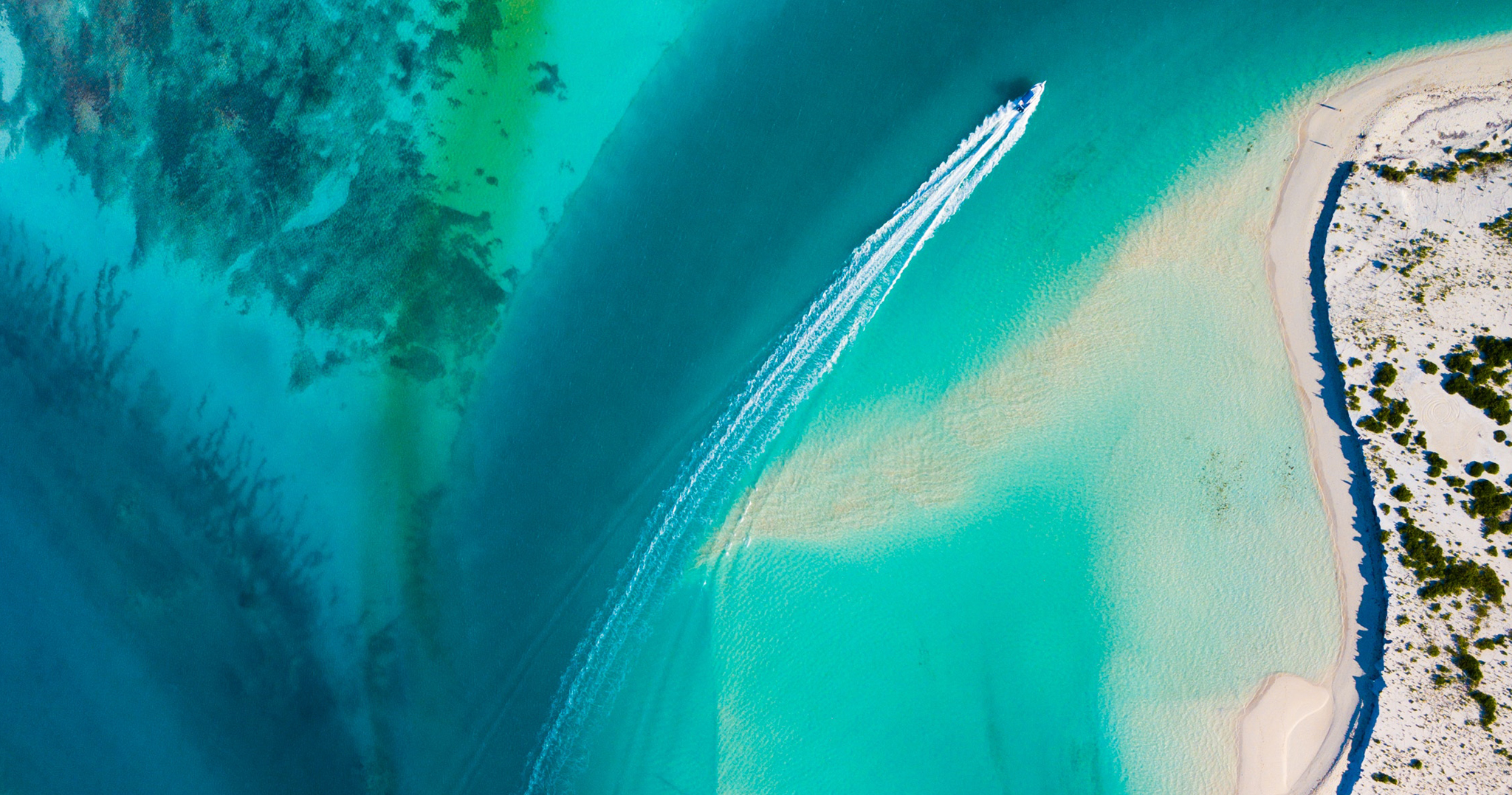
Stay alert to changes in the seabed
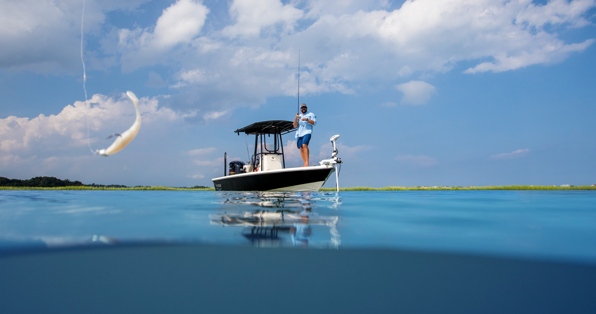
Target fish-holding structure!
Discover Our Other Advanced Features
Dock-to-dock Route Guidance1
Create a suggested route, from a real start point to a real end point, based on chart data and navigation aids.
Learn more
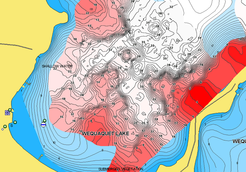
Advanced Map Options
Highlight shallow areas, adjust SonarChart™ density, and target a fishing range!
Learn more
Plotter Sync
Connect your plotter and mobile to transfer routes & markers and update your charts wirelessly.
Learn more