
New marine cartography from Garmin delivers all-in-one inland and coastal mapping, access to daily chart updates, new Auto Guidance+™ technology and more to Garmin chartplotters.
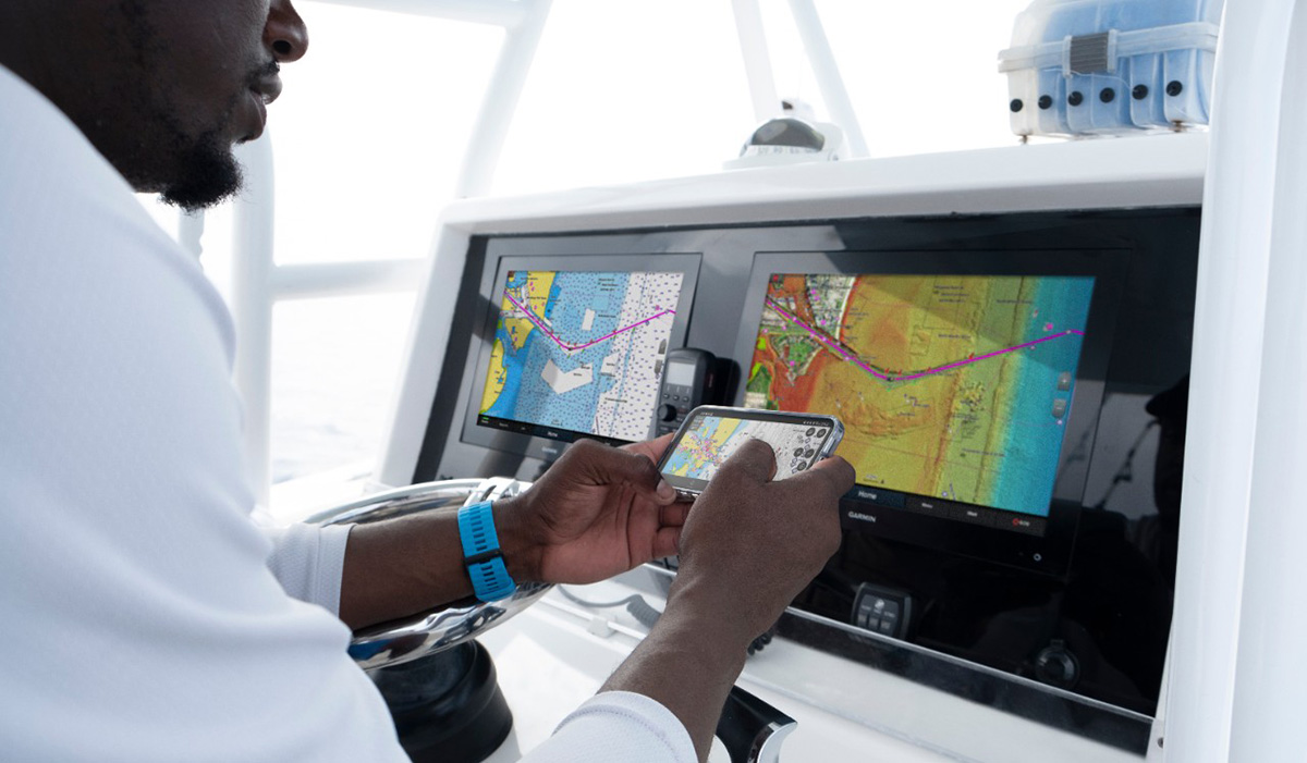
Garmin, the world’s largest and most innovative1 marine electronics manufacturer, kicked off the new year with a sweeping cartography update exclusively for Garmin chartplotters. With Garmin Navionics+™ and premium Garmin Navionics Vision+™, mariners can take advantage of the world’s No. 1 marine mappingi wherever they choose to plot their paradise. The new cartography products offer an all-in-one mapping solution that integrates detail-rich inland and offshore content, as well as a variety of tools to support smarter and safer navigation.
“Garmin Navionics+ and Garmin Navionics Vision+ offer our best and most feature-rich marine cartography experience to date — a true game-changer for boaters and anglers,” said Dan Bartel, Garmin vice president of global consumer sales. “Now, with new coverage regions, mariners have the freedom to confidently explore inshore and offshore waters with a full suite of mapping content and advanced features. Plus, with access to daily chart updates, mariners can stay informed about the latest changes to their maps and charts and benefit immediately from new cartography releases.”
Visit Garmin.com/newsroom for the full product announcement.
1Based on 2020.


