
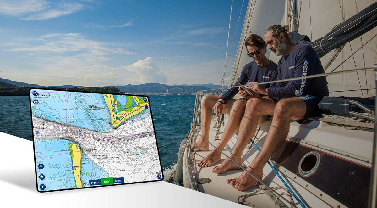
Being No. 1 in mapping1 isn’t something we take for granted. Every day we do our best to add value to your on-the-water experience. Our priority is to provide you with the most up-to-date cartography. In 2022 we made nearly 2 million updates to our charts worldwide. These updates range from new lake additions to updated marina plans and coastline changes, as well as the continuous improvement and expansion of high-resolution relief shading coverage and more.
Why does it matter? Updated charts mean our route guidance feature takes into consideration where navigational markers might have changed when it calculates a suggested route to your destination. New surveys provide a wealth of depth and bottom contour data that can help you zero in on the perfect spot to cast out for your favorite fish. Essentially, it means you can be prepared with the information you need to make wise decisions before and during every trip.
Some notable updates from last year include:
- Relief shading: 168,000 km2 in Norway, 140,000 km2 in the Bahamas, 3000 km2 across the United States and almost 5,000 km2 in Europe
- An increased lake count to more than 43,000 worldwide, including 130 new lakes in the U.S., 160 in Canada and an impressive 497 in Sweden, with many more in Norway, South Africa and New Zealand
- 13,600+ Notice to Mariner updates across the globe
- The integration of almost 11,400 newly released official paper or digital charts
- More than 21,000 km of coastline updated across the world
- More than 130 targeted lake improvement projects, including new data sources and dedicated surveys producing high-resolution lakes in the U.S., Canada, Australia and more
- 50+ targeted marine improvement projects in Holland, Croatia, Australia, the U.K., Norway and Portugal.
See where we’ve made our worldwide updates on our Heatmap or explore our latest charts on the Chart Viewer.
Having an active Navionics® chart subscription means you can download daily updates for one year so you can head out with confidence, knowing you have the latest data to rely on.
Download the latest charts using the Chart Installer on your computer or, if you have a compatible plotter and the Boating app, use the Plotter Sync2 feature.
If you own a Garmin chartplotter, you can access these same charts and daily updates with a Garmin Navionics+™ or Garmin Navionics Vision+™ marine chart subscription. Garmin Navionics+ charts now come built-in on select Garmin chartplotters.
1Based on 2021 sales
2Separate purchase required; the Plotter Sync feature requires an active Boating app subscription of an overlapping coverage area and your compatible chartplotter


