
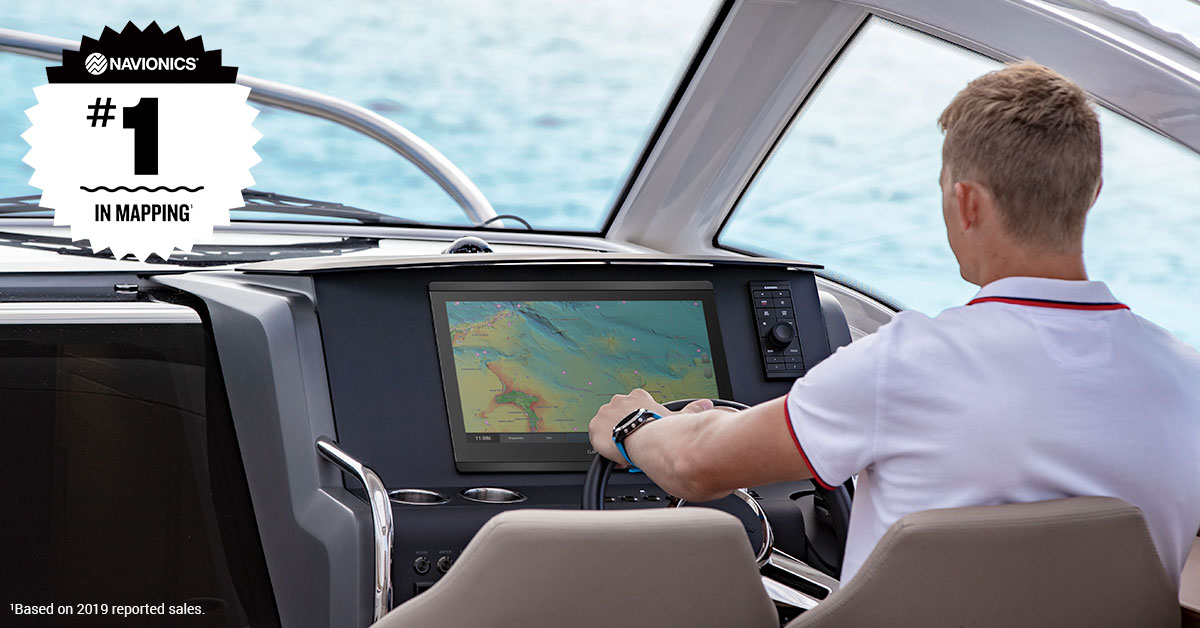
Combined Content Offers World’s No. 1 Mapping Coverage and a Full Suite of Tools for Every Kind of Boater1
A few years ago, Navionics® became a part of the Garmin family, joining forces as leaders in the marine industry to generate the best mapping solutions for boaters, anglers and sailors alike. A shared, deep-rooted knowledge of the industry has allowed Garmin and Navionics to deliver widespread global coverage and feature-rich content that can help further any of your passions at the lake or on the sea. Thanks to this integration Navionics users can get world-leading cartography content right to their Navionics-compatible chartplotter or compatible mobile device.
But it doesn’t stop there. You’ll get a slew of additional features for your on-the-water hobbies:
Superior Coverage That Never Stops Evolving
Weather, temperature, tides and more can all contribute to changes in the ocean floor or lake bottom, which means that frequent updates are a key piece of the puzzle when it comes to solid, onboard mapping. Integrated Garmin and Navionics detail provides a clear advantage of continuous improvement and unparalleled coverage. With a team of skilled cartographers working year-round, this content only continues to expand across the world with each new release, with up to 5,000 updates per day.
On the coasts, across the ocean or completely landlocked: Navionics+, Platinum+ coastal charts and inland maps offer actively updated chart content. Not to mention, chart updates are quick and easy to download right to your chartplotter or compatible mobile device Navionics Chart Installer or via the Plotter Sync feature of the Boating app2 or directly to the Boating app on your compatible mobile device. To view the latest updates between each new cartography release, check out the interactive Navionics Heatmap.
Enhanced Visibility Above and Below Your Boat with Premium Content
Explore coastlines and lake bottoms with feature-rich premium overlays3, such as high-resolution satellite imagery and unique 3-D views. Whether you’re trolling lakes or cruising coastlines, premium overlays and features – found exclusively in Platinum+ coastal charts inland maps – equip boaters and anglers with advanced chart detail and up to 0,5 m contours so situational awareness is never in question.
A Rich Blend of Color and Shadow
Navigate more intuitively and explore with a premium SonarChart™ Shading and relief shading overlays included in Platinum+4 Navionics’s high-resolution relief shading gives you an easy-to-interpret, clear view of the ocean or lake bottom structure than contour lines alone. Now with 100% coverage for the coastal continental U.S. and increased inland acreage, as well as expanded coverage for European countries3, Australia and New Zealand, it is easier than ever to discover hidden, fish-holding structures, artificial reefs and unique diving locations. Even if you haven’t upgraded to premium charts and features, let Navionics4 be your guide with preloaded Dock-to-dock Autorouting5 technology. By considering your desired depth, overhead clearance and other preferences, Dock-to-dock Autorouting will calculate the best route and overlay a suggested path right to your destination.
The Ultimate Connected Boating Experience
No matter what level of chart content you use, the Navionics Boating app also offers a simple yet powerful connection between your mobile device and compatible chartplotter. Plotter Sync gives you the tools to activate and update your chart subscription, download the latest chart data, and transfer waypoints and routes.
The Boating app also grants access to an entire online community of fellow boaters who share your on-the-water passions. The Navionics Community Edits functionality enables users to share their experiences on the water like the best marinas to dock for lunch or potential hazards on the water – so you always feel like a local.
This content can be downloaded to your Navionics card to be displayed on your compatible chartplotter or MFD.
Let Us Lead the Way
Our journey to redefine the marine industry continues as we pursue more ways to be an essential part of your activities on lake and sea. Looking ahead to the 2021 boating season, Garmin is eager to see where the No. 1 in mapping may lead you.
1Based on 2020 reported sales
2Available for download on iPhone® and Android™ compatible mobile devices
3Relief shading available in Europe for the U.K., Ireland, Belgium, France, Germany, the Netherlands and Norway
4Available on the latest compatible chartplotters
5 Dock-to-dock Autorouting is for planning purposes only and does not replace safe navigation operations
iPad, iPhone and Apple are trademarks of Apple Inc., registered in the U.S. and other countries.
Android is a trademark of Google LLC.


