
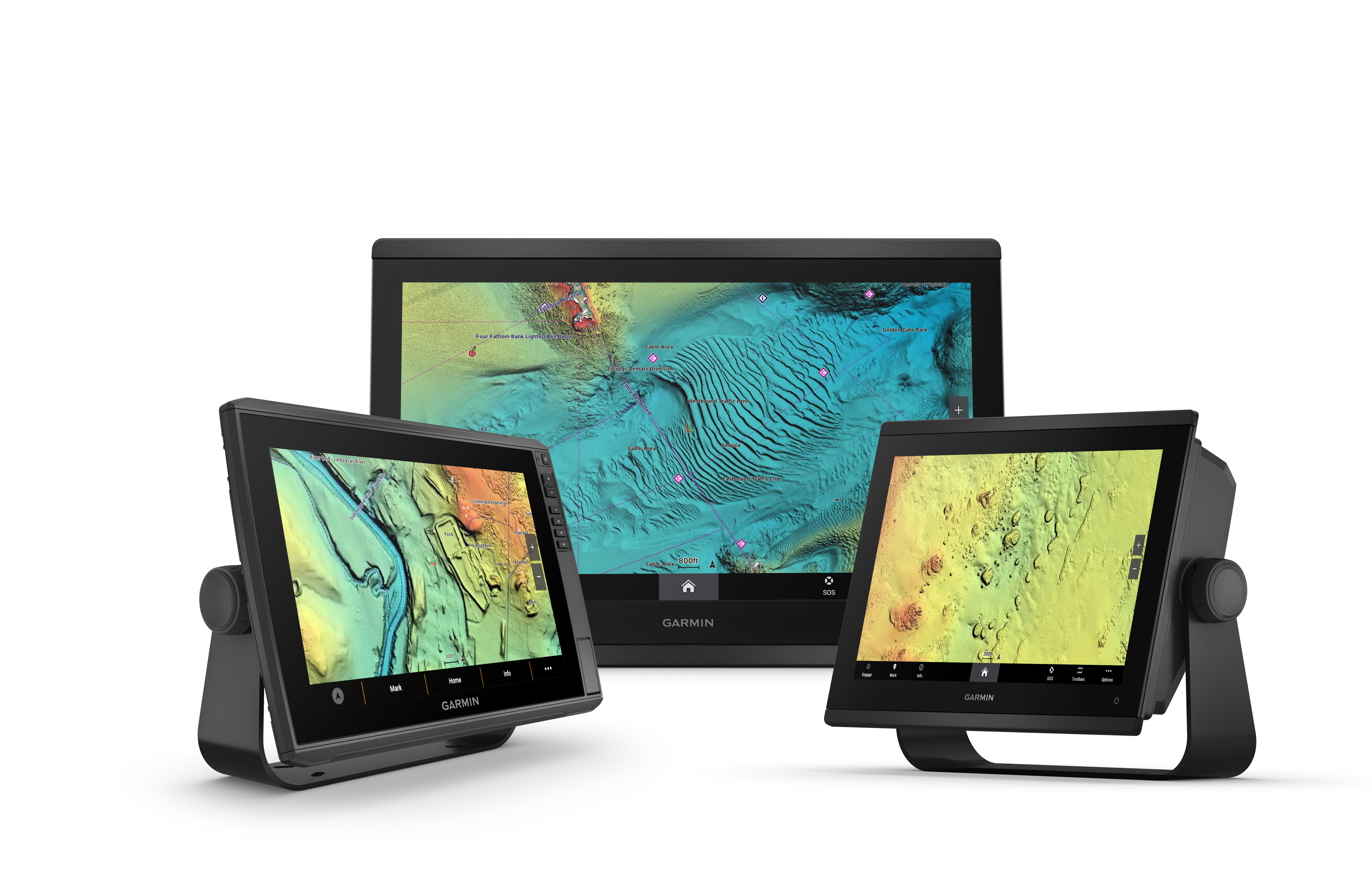
OLATHE, Kan./April 13, 2023/PR Newswire — Garmin (NYSE: GRMN), the world’s most innovative and recognized marine electronics manufacturer, today announced expanded and enhanced high-resolution relief shading coverage to its Garmin Navionics Vision+™ premium marine cartography. Combining color and shadow, relief shading gives mariners an easy-to-interpret, clearer view of what’s below the surface than contour lines alone – now available on more than 40,000 additional lakes.
Available as an accessory card or download for compatible Garmin chartplotters, Garmin Navionics Vision+ gives boaters, anglers and divers access to an exclusive relief shading overlay. With expanded coverage of more than 120% from the previous charts, relief shading is available for many new coastal and inland waters, including lakes and rivers in the United States, Canada, Europe, Africa, Australia and New Zealand1. Garmin’s high-resolution relief shading is now even clearer in a vibrant new color palette with improved shadowing and better detail in many places on the shape of lake, river and ocean seabeds around the world, providing boaters a better understanding of depth changes at a glance.
“We’re constantly updating and improving our Garmin Navionics marine cartography to provide the widest range of coverage with unrivaled detail for our customers. Relief shading brings entirely new level of detail to the ocean floor and lake bottom to help in locating underwater structure, artificial reefs, underwater shelves and more – and we’re excited to bring this kind of detail to even more customers around the world.” – Dan Bartel, Garmin Vice President of Global Consumer Sales".
1Level of detail will vary based on the location and sources used.


