How Charts and Features on Your Smartphone Can Help You Escape the Ordinary
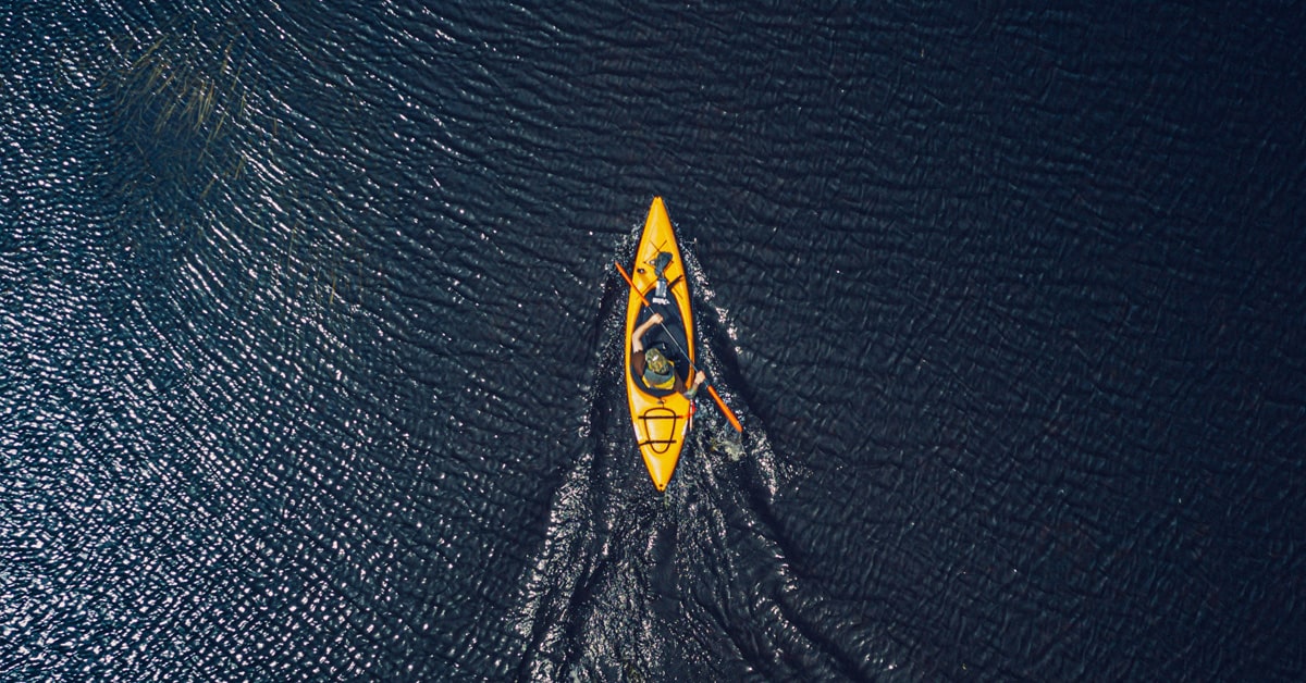
There’s nothing better than the sun’s warmth on your skin and a gentle breeze on your face while kayaking across blue waters — whether you’re paddling down a river, on a lake or you’re at sea following the shoreline. To make sure you enjoy your time to the fullest, you should be prepared. Your gear and some refreshments are the basics, of course, but you might want to know in advance what you will face, especially if you’re visiting a new place.
The Navionics® Boating app is a tool that can help you prepare your next escape into nature. You’ll have all the vital information you need to relax and fully enjoy being out on the water.
Exploring new and unknown waters is exciting, but it’s smart to learn as much as you can to avoid taking unnecessary risks. Nautical Chart can be of great avail for your next adventure. You can check for the best areas to put your kayak in the water, see if there are some docks or ramps that can make your life easier, and look up beaches, bays and other points of interest where you can stop for a break and take great pictures. If you need to see more, you can view satellite images or terrain maps overlaid on the charts to see roads and other relevant points on land. When you see something interesting, drop a marker to save it, then use the distance tool to measure distance between places to begin planning your day. 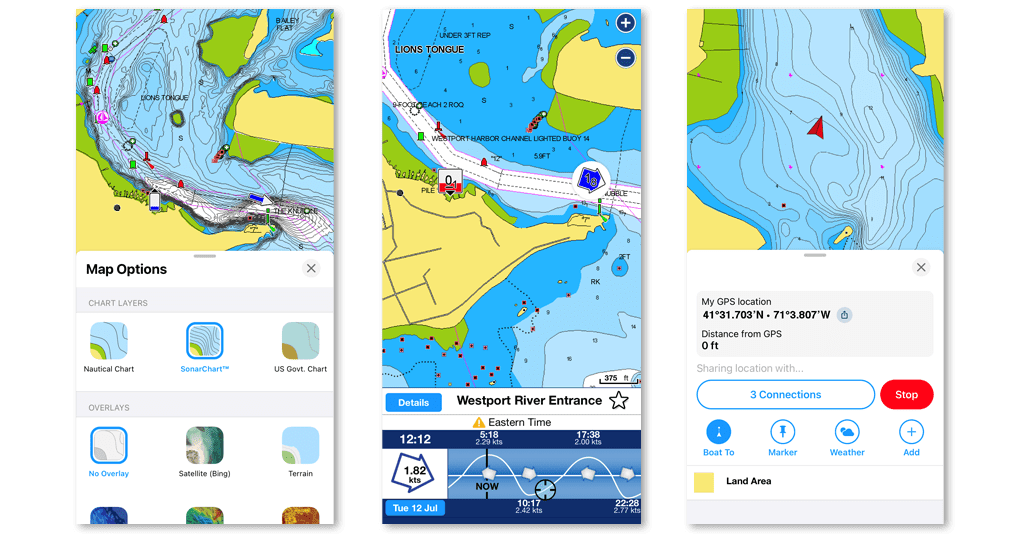
Let the ActiveCaptain® community help you discover places that are right for you and check ratings and reviews with Community Edits points of interest. Get suggestions on the best access points and parking, places for a quick bite or the best spot to take a splash in the water. If you have relevant information or want to leave a review, you can do it too.
Once you’ve studied the charts, you can quickly and easily create a path to follow during your day using Auto Guidance+ routing technology1. All you need are start and end points, and the app will formulate a suggested route to follow. If you plan to make some stops — knowing you’ll begin to feel the weight of all the paddling or simply because you want to enjoy some small, enchanted bay — you can edit the route and add waypoints of the places you want to visit. You also can decide how far from the shoreline you want to be so you always feel relaxed and can enjoy your day. 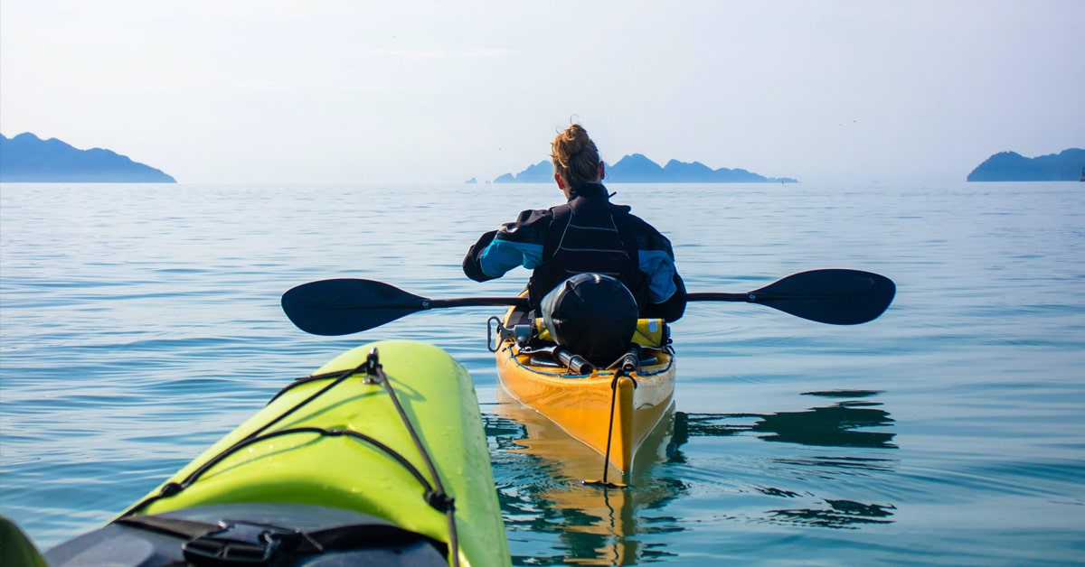
Before heading out, you might want to be sure to take a quick look at the weather feature. Adjust your plan using hourly detailed information on tides and currents, see the best time to start your trip and when to take a break. You can check when the current is in your favor and when the tides change so you are always ahead of changes. Take the chance to get a boost from the wind, see wind directions and how it will change during the day.
Now that you have finished planning, you need to start gathering equipment and supplies and start paddling toward your adventure. While you’re on the water, follow the route you created and remember to start a track so you can record your day. Also, whether you are going out solo or with friends, you can share your live position with other people with the Connections feature so they can keep an eye on you.
After an enjoyable time paddling on the water, enjoy some rest and a cold drink and revisit your day. Check your track to see statistics like average velocity or distance, or you can check photos and videos captured in the app. Want to share your adventure with your friends and followers? You can! Share routes, tracks and markers outside the app via text, social media and more, or if your friends have the app, easily use the Connections feature.
¹Auto Guidance+ is for planning purposes only and does not replace safe navigation operations.