
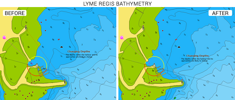
We are pleased to inform our customers that we have recently improved our cartography in the beautiful areas of West Bay and Lyme Regis, areas in the south of England.
In addition to the maximum cartographic detail of Navionics cartography, you will find our fully updated bathymetric map. And — with our advanced features — you can boat with confidence, fish smarter and fully enjoy the time spent on the boat.
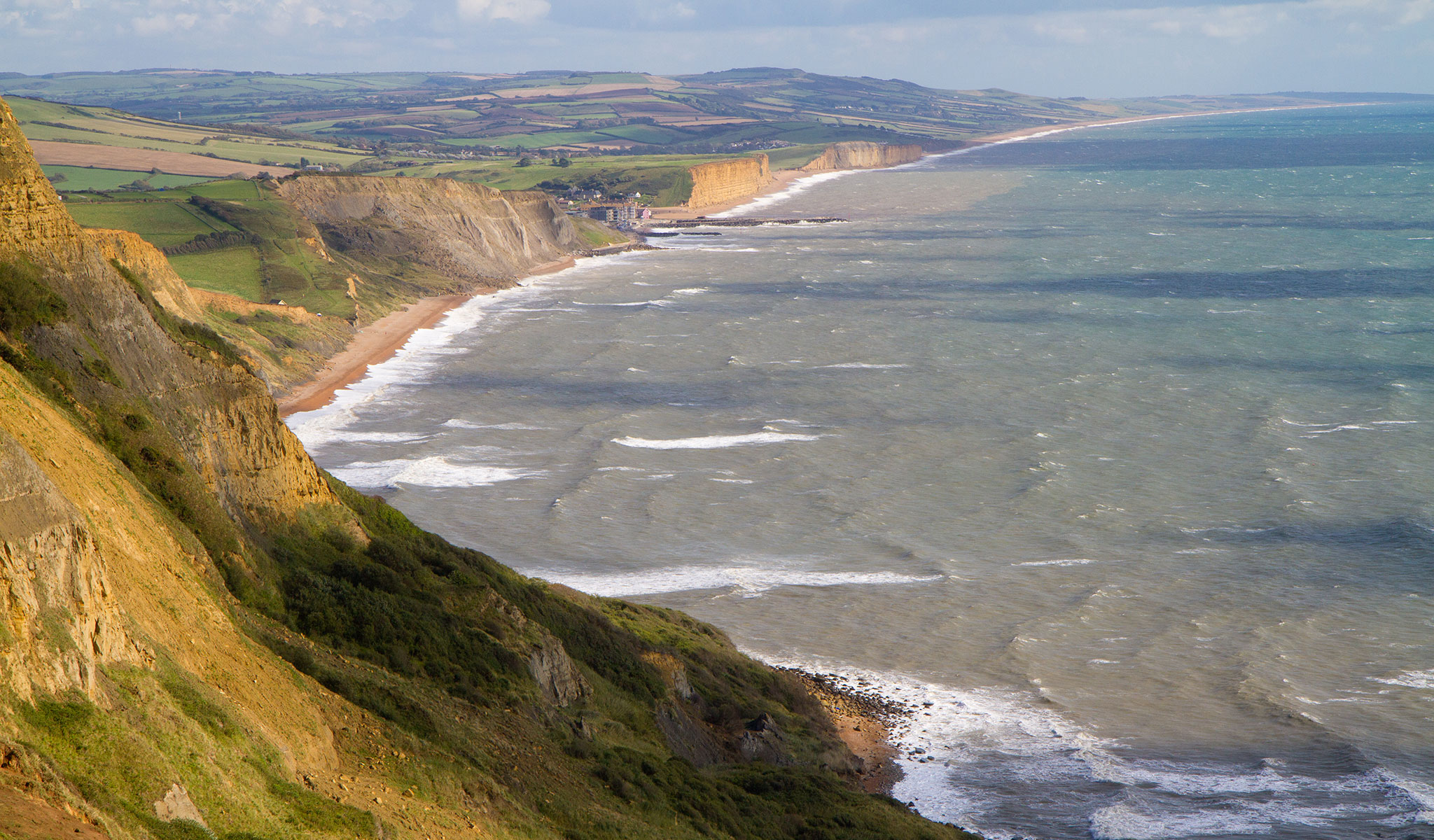
West Bay and Lyme Regis are located on Dorset’s Jurassic Coast, a UNESCO World Heritage Site since 2001. The area is ideal for fishing and boating.
West Bay is a small settlement in the English Channel and is known as Bridport Harbour . Lyme Regis is a small town between the cities of Dorchester and Exeter. It is nicknamed the Pearl of Dorset.
Browse your areas of interest on our Chart Viewer, check out the improvements, and judge for yourself.
GET UPDATED CHARTS!
With an active subscription
- Have a plotter card? Plug your card into a PC and download. Or, if you also have our Boating app, do it wirelessly with Plotter Sync. Download
- Have the Boating app? Open the app and tap Menu > Update All.
With an expired subscription
- Have a plotter card? Choose one of the available options to easily renew. Renew
- Have the Boating app? Open the app, tap Menu > Charts & Upgrades.
IF YOU DON’T HAVE NAVIONICS YET
- Have a plotter? choose Navionics+ 28XG or 5G576S2, 5G829S, or Platinum+ 28P+, 5P392XL. Shop Now
- Have a mobile? Download the free Boating Marine & Lakes app that provides a 2-week free trial or the paid apps for UK&Holland! Shop Now