
Driven by a passionate commitment to support our customers’ enjoyment on the water, Navionics continues enriching its chart coverage to include popular boating and fishing areas around the world.
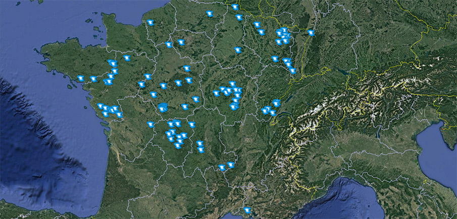
Our work and attention to freshwater bodies has positioned us as the leading nautical charts provider with the highest number of mapped lakes in France. In fact, our database now contains 347 lakes across France - up to 90 times more than anyone in the business.
Recent additions include: Étang d'Ouée, Étang de Carcraon, Etang de la Hardouinais, Étang de Marcillé, Grand Étang de Mittersheim known as le Lac Vert (Grand Est – Lorraine), Lac de Pierre-Percée, Lac du Drennec, Lac du Gast, Marais d'Orx, Plan d'Eau de Plobsheim, Retenue de Rophémel (Bretagne), and Retenue du Moulin Neuf. Many of these are popular fishing destinations for northern pike, carp, predator and many other species.
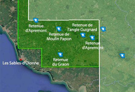
The addition of lakes such as Retenue Du Graon and Retenue De Moulin Papon, and others in the Atlantic departments are now included in our expanded coverage area of 5G538S2 - France Inland, Leman, Zurichsee.
GET UPDATED CHARTS!
With an active subscription
- Have a plotter card? Plug your card into a PC and download. Or, if you also have our Boating app, do it wirelessly with Plotter Sync. Download
- Have the Boating app? Open the app and tap Menu > Update All.
With an expired subscription
- Have a plotter card? Choose one of the available options to easily renew. Renew
- Have the Boating app? Open the app, tap Menu > Charts & Upgrades.
IF YOU DON’T HAVE NAVIONICS YET
- Have a plotter? Choose Navionics+ 46XG or 5G538S2. Shop Now
- Have a mobile? Download the free Boating Marine & Lakes app that provides a 2-week free trial or the paid apps for Europe! Shop Now


