
At Navionics, we continuously enhance our products and technology to provide our customers with the best possible experience, the most complete details, and relevant content.
As part of our ongoing product enhancement, we recently updated a 378 km long stretch of the Hungarian Danube.
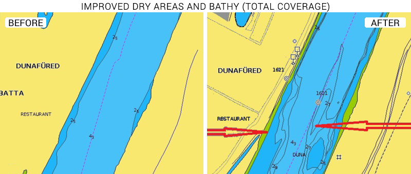
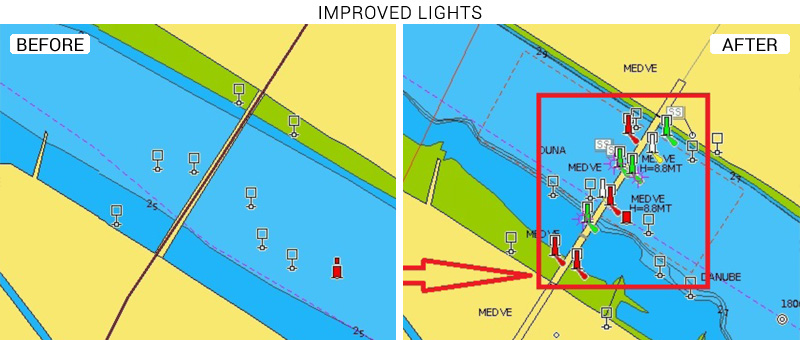
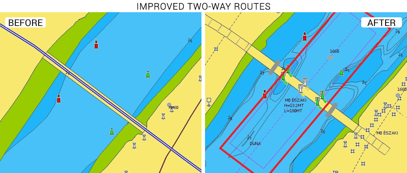
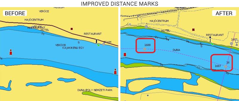
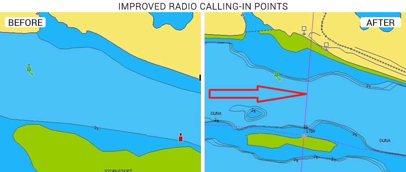
It goes from km 1433 to km 1811, along the border with Slovakia, down to Croatia, and updates include, but are not limited to: dry areas, lights, two-way routes, distance marks, radio calling-in points and bathymetry.
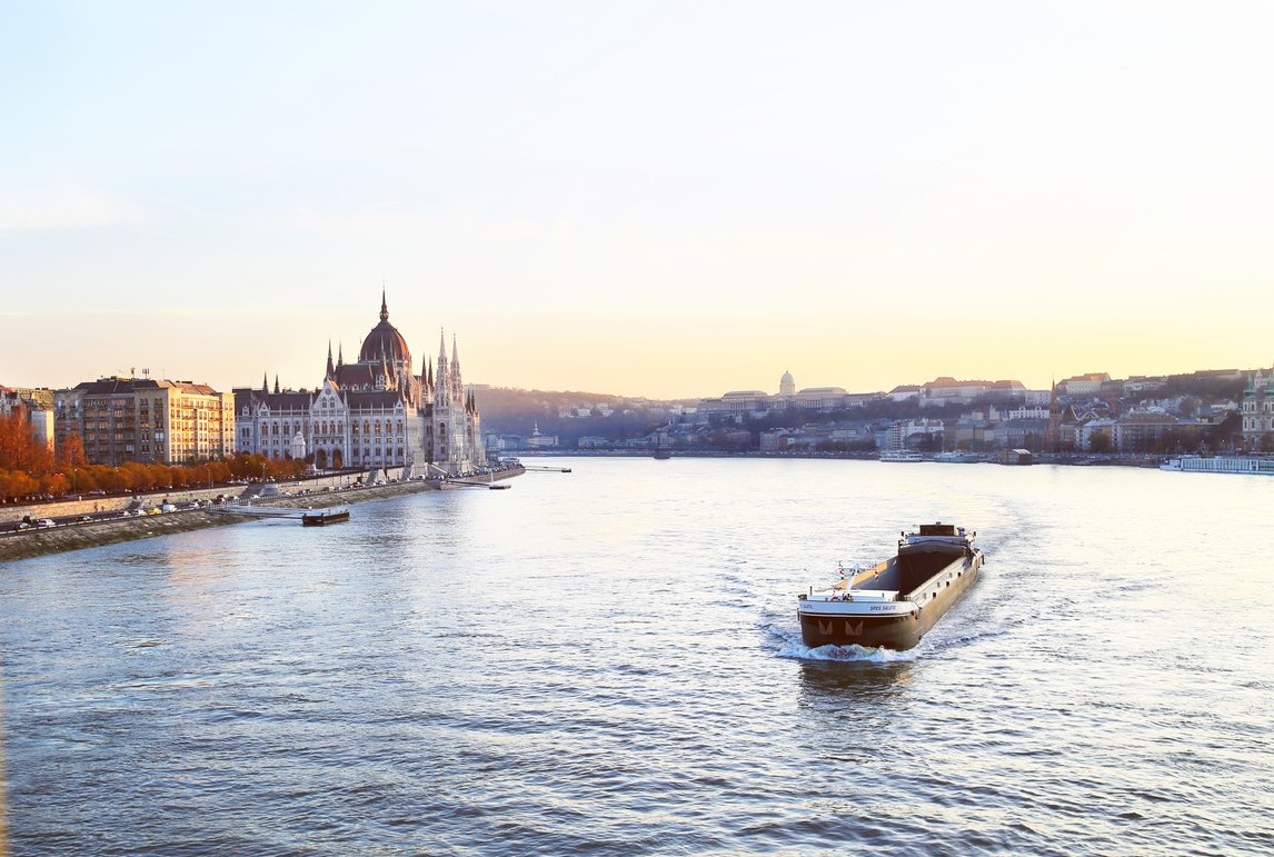
Along this stretch of the Danube, one can find the famous Budapest bridges and the Danube bend, one of the most beautiful river's landscapes. These remarkable landmarks make it a famous destination for sailing and cruising. Among the leisure activities offered by the river, fishing is also very popular: these waters present a high diversity in fish species including big catches and predators like pike, pikeperch and catfish.
See the improvements now
Browse your areas of interest on our Chart Viewer, check out some examples here below and judge for yourself:
See the improvements now
Browse your areas of interest on our Chart Viewer and judge for yourself.
Learn more about chart updates and discover our latest changes!
GET UPDATED CHARTS!
With an active subscription
- Have a plotter card? Plug your card into a PC and download. Or, if you also have our Boating app, do it wirelessly with Plotter Sync. Download
- Have the Boating app? Open the app and tap Menu > Update All.
With an expired subscription
- Have a plotter card? Choose one of the available options to easily renew. Renew
- Have the Boating app? Open the app, tap Menu > Charts & Upgrades.
IF YOU DON’T HAVE NAVIONICS YET
- Have a plotter? Choose Navionics+ 43XG. Shop Now
- Have a mobile? Download the free Boating Marine & Lakes app that provides a 2-week free trial or the paid apps for Denmark & Greenland! Shop Now


